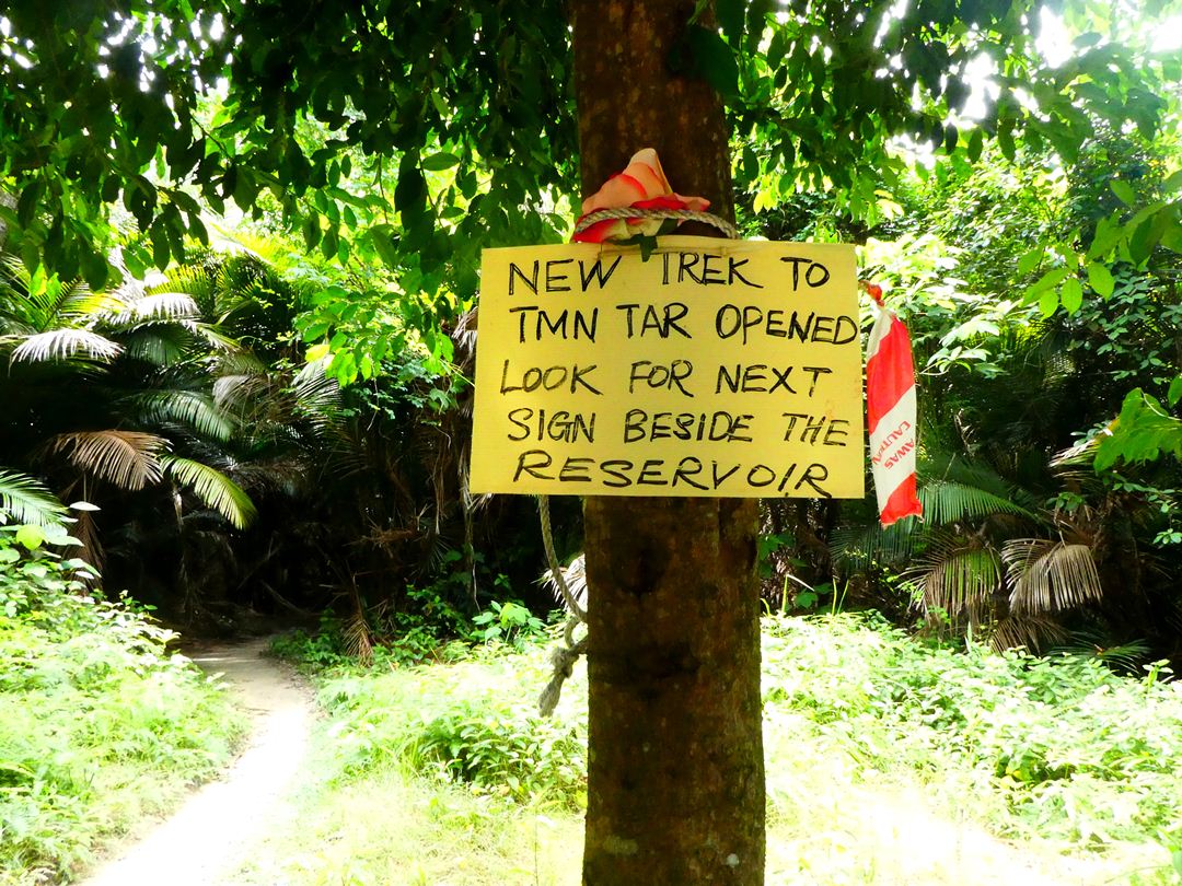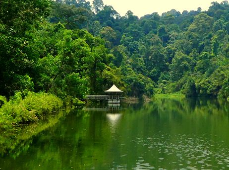
Taking the Bukit Kembara trailhead into the Ampang reservoir to Taman Tar is a one-way journey. If you choose to continue through this most difficult and least traversed section of the hiking trail, you may find that you literally cannot turn back if you change your mind. There might be points in your path where the slope is too steep or the drop too high for you to climb back up.
I should warn you that I do not recommend that you follow this trail we took unless you are in at least above-average level of fitness, hike regularly, and are okay with potentially getting a few scrapes (or worse). This route includes deep jungling and minor trespassing. There’s no shame in turning back at the Ampang reservoir. It seems like all the locals do this: enter at the shrine entrance, hike to the reservoir, then turn back the way they came. There’s a reason for that.
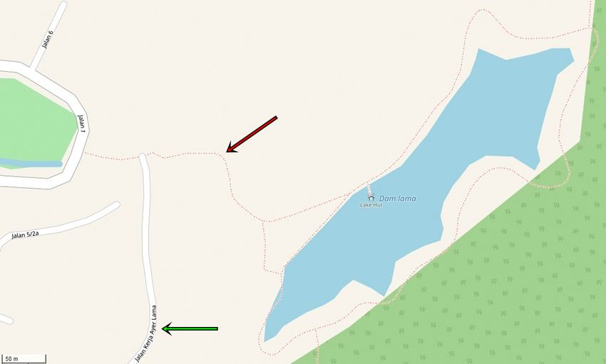
Mark and I abhor backtracking, so if there appears to be a different way out than the way we entered, we will always take it. Our planned path took us down this different route marked on OpenStreetMap. Our destination was Jalan Kerja Ayer Lama, which we had looked up on Google beforehand and saw that it had several restaurants listed on it. The perfect cap off to this exciting day would’ve been a meal and cold drink.
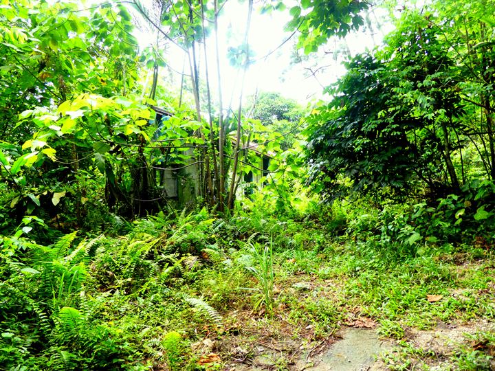
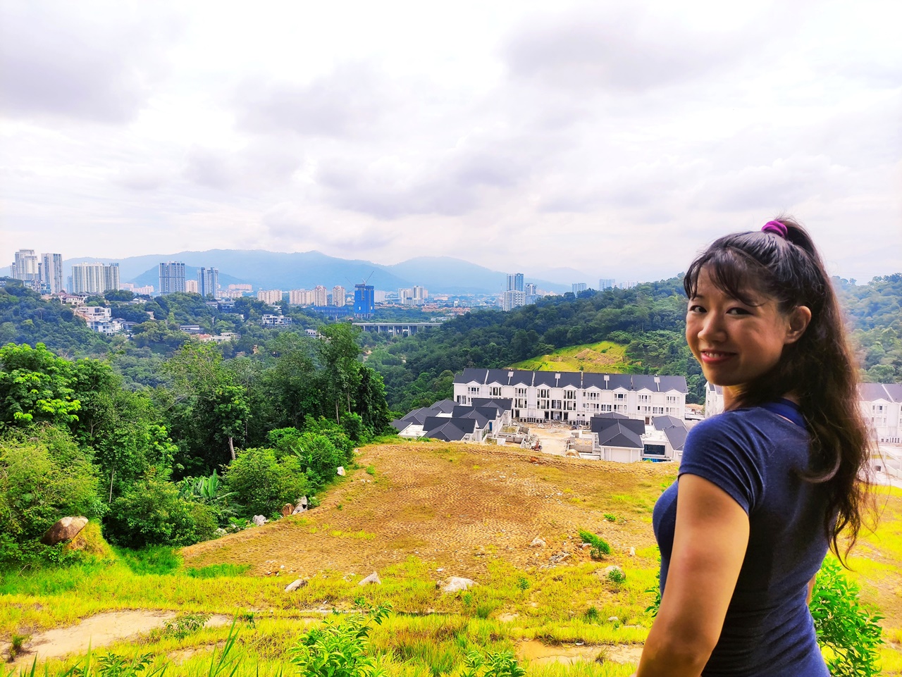
We diverged away from the reservoir at its lower tip. When moving away from nature and back to civilization, we were instantly welcomed with signs of the change: abandoned buildings. It’s an easy walk and with the beginnings of a concrete road opening up more and more, and we began to feel really accomplished at this point. Fuck yeah! Now let’s get a curry puff. Or ten.
The trail had other plans.
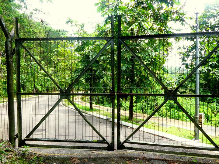
There have been news reports that this has been locked up for a while now over a land dispute. Even if I hadn’t found the articles a day later, anyone could see that this gate has not, and will not, be open for a long time. The chain and padlock are completely brown with rust. The razor wire adds a final note of authority that no one is getting in or out this way. It’s so frustrating to be able to see the road right there, but with no way to get to it. The thought of having to hike the entire route we just took all the way back had me falling into desperation. I began seriously suggesting to Mark that we climb a little up the hill where there was a gap in the razor wire, and climb over. Luckily, Mark had a little more faith and a lot more concern for our bodies.
As we backtracked along the road that got my hopes so high just moments before, I began to see it in a different light. It’s not the concrete being laid over grass signalling the beginning of civilization. It’s that the road was there first but hadn’t been used in years, so the grass was starting to grow in between the cracks of the concrete.
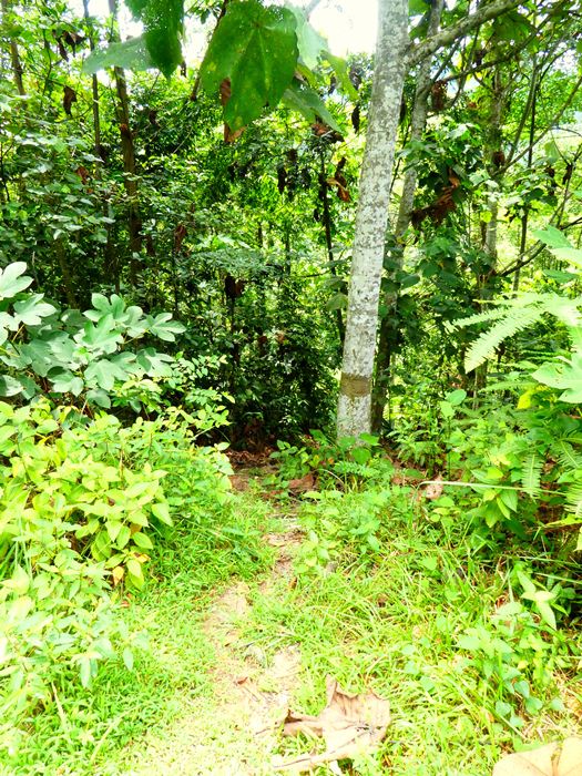
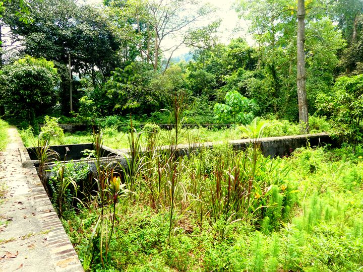
We took this route down with a tree with its trunk marked. It was the only option that we could see to hopefully circumnavigate the barbed wire fence. It looked promising, with clearly defined steps leading down to this overgrown basin type thing and passing by a combination rest spot and dumping ground.
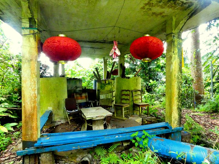
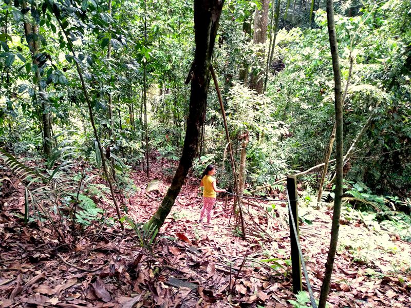
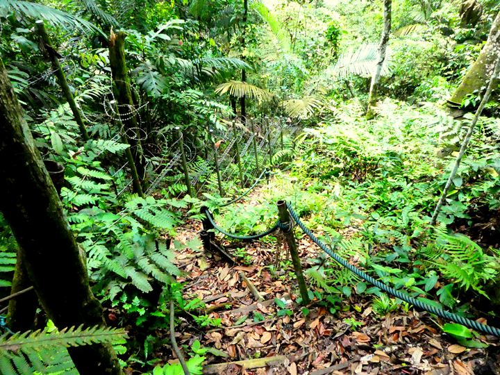
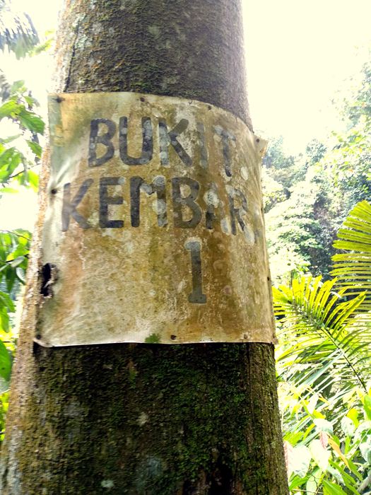
Just off the rest spot with the lanterns, there will be more stairs and a reunion with an old friend, the glorious rope. The path is very dangerous from this point on, with no feet to mark a clear direction or kick aside the vast amounts of deadfall. And it’s all downhill, naturally. I don’t have a lot of photos from this point on for safety’s sake, but also because it would just be pictures of trees that all look the same. There are no more route markers, save for one faded sign on a tree if you’re lucky to find it that says “Bukit Kembara 1.”
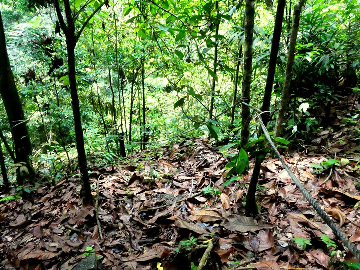
For any future hikers who read this, I don’t want to mislead you by pointing out a log that we had to hop over that is no longer there by the time you visit. It’s a war between hikers and those who claim that this is private land. Passionate hikers do their best to clear the trail, put up markers and remove trees, but private developers retaliate by intentionally blocking the path with more fences, trees and debris.
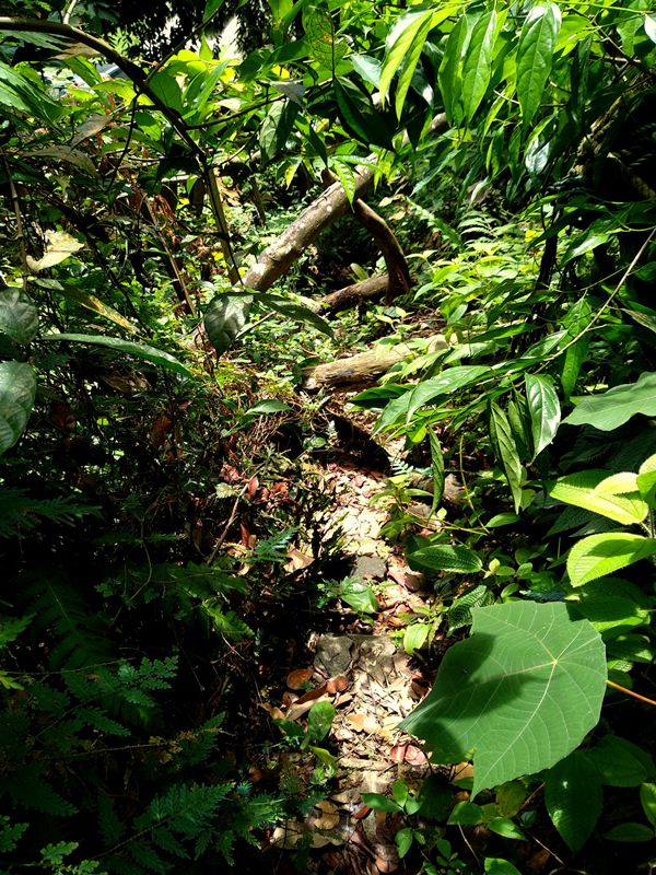
The best advice I can give is to follow the rope as much as you can, but be aware that the rope may disappear suddenly because it’s under fallen trees. There were definitely points where we just had to squeeze through whatever space we could to get onto paths that were flat enough for our feet. Going over logs, under logs, and dropping from heights a little too high for the average leg to simply step down from should be expected.

Hopefully, you will begin to see the tops of houses and will be able to make towards them. For us, the rope was absent but we could see it at points buried under toppled trees and underbrush. There will be a river and high fences separating you from the first house directly in front of you. Don’t bother trying to scale these pointy fences – you’ll just end up trespassing onto the property of whoever lives there. Besides, there’s an easier fence to climb over a little further down the way.
Walk left along the fenced river’s edge as best you can and make for the unfenced home next to it. You may encounter severe overgrowth – we had to climb onto a fallen tree and slide our butts down it. Once we did that, it was only a messy slog through the swampy ground to get to the house. Watch your shoes! The lawn of the house you’re heading toward maybe be incredibly wet and spongy. We sank almost up to the collar of our sneakers and hiking boots. I doubt this is part of the official hiking trail, but honestly, this was the only way out that we could find.

On this day, the house was thankfully long abandoned, with rusted carcasses of cars in its open garages and discarded electronics littering the grass. Hence, we didn’t have to worry about a concerned homeowner calling the police on us when we were so close to the finish line. This house has a stone wall that can be mounted easily. Step onto the electrical box to the right of the gate to get a foothold. Sit on the top of the wall and jump down, using the lip of the metal access door on the other side to brace your fall.
This spat us out on a road named “Jalan 1,” which sounds like where the universe begins. It was a pleasant walk through a fancy neighbourhood before this street turns into Jalan Kerja Ayer Lama and we stumbled into Me’Nate Steak Hub to eat all the food they had.
There you have it! We made it out of Bukit Kembara alive and with no backtracking! I haven’t high fived so enthusiastically as I did while walking away on sweet, flat paved ground.
Trail Info
Address: Ulu Kelang, 68000 Ampang Jaya, Selangor
Open 24 hours
Duration: 1 hour+
Parking: N/A
Washroom On Site: No

