
Unless you want to be fleeced by boat operators, a 90-minute uphill hike is the only other way to get to Pantai Kerachut or better known to tourists as Turtle Beach.
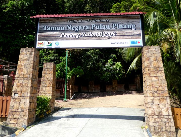
You must start at Penang National Park, which is already at the extreme north-west edge of the island. Take a Grab, or the Rapid Penang bus 101 to the end of the line, which will be the park.
Head to the Information & Registration Centre to get your permit to enter the park. Entrance costs RM10 for MyKad holders and a whopping RM50 for foreigners. The canopy walkway is an extra charge, which is a paltry RM5 per person. There is no washroom anywhere along the trail, so the registration centre will be your last chance to go until you get to the beach. There was no toilet paper at these bathrooms (I had the foresight to bring my own) but the sinks and have soap.
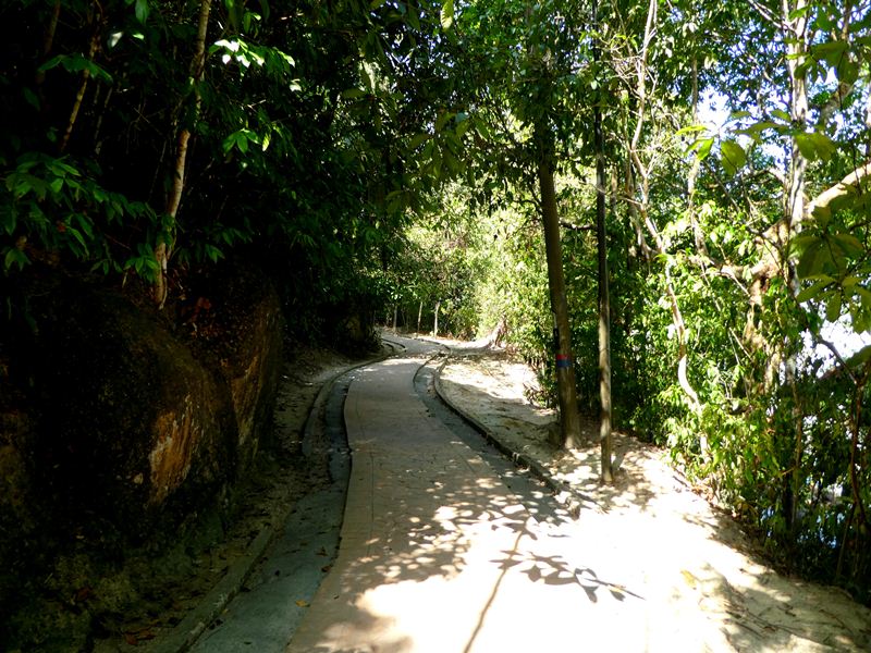
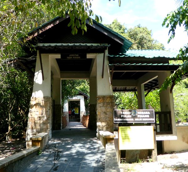
Head in past the gate and permit inspection office, which didn’t seem to have anyone tending it all day. The hike begins with this very pleasant and easy brick path along the coast. Occasionally, there will be some benches and picnic tables. If you’re gripped by a sudden wave of laziness, you could even swim and beach it up here. However, there was a lot of dead fish that had washed up ashore in this area. Despite this, it didn’t deter a lot of families who were playing and relaxing by the water in the evening.
After you cross this wobbly bridge, the path forks. Take a left to begin heading towards Turtle Beach. Immediately, the nice brick path disappears and becomes a dirt path.
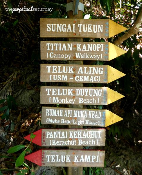
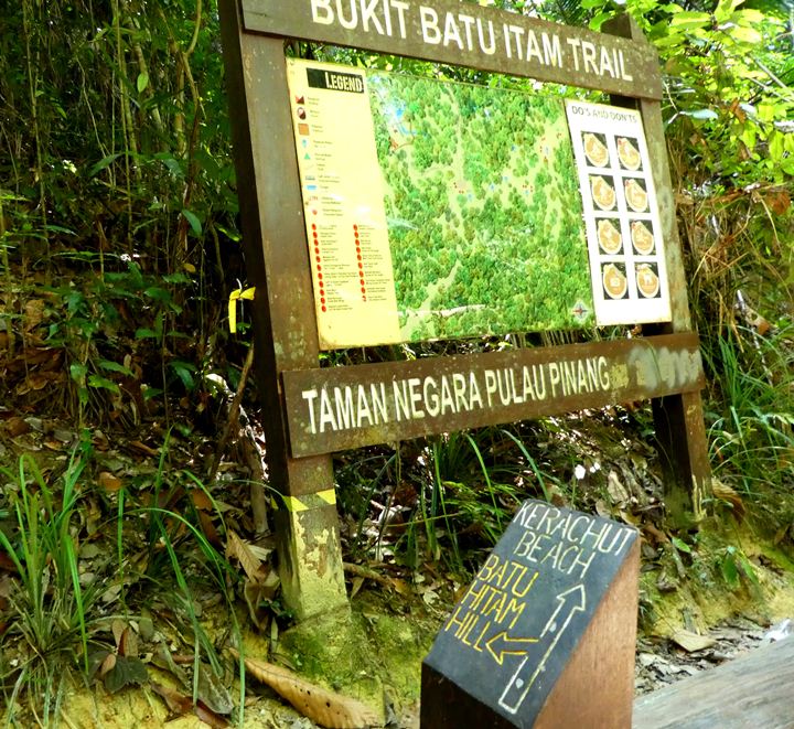
Unless you’re utterly not paying attention, you shouldn’t get lost. The trail, especially to Turtle Beach, is so obvious and well-trodden. Along the way, you’ll also get reaffirming signs with “PANTAI KERACHUT” and a pointing arrow. Don’t worry too much about forks in the path at the start – they will rejoin after a short while.


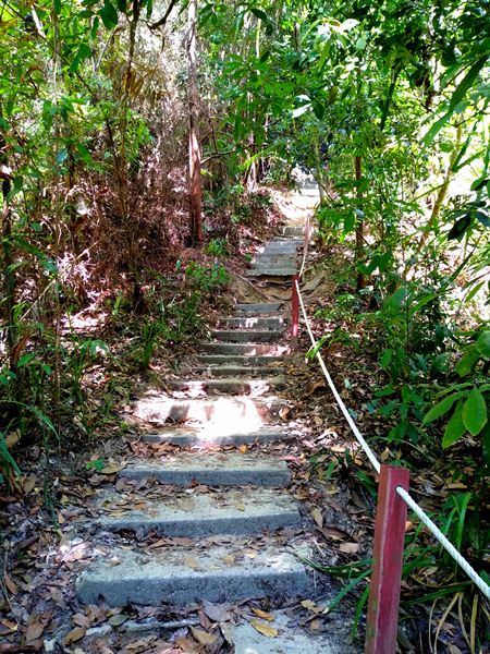
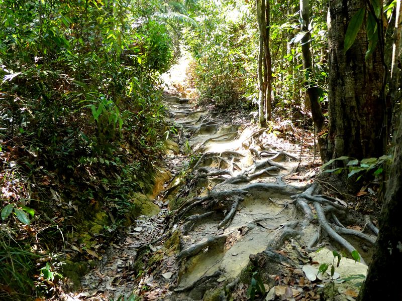
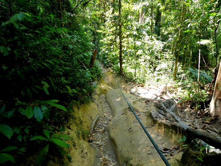
The beginning part of the trail has some steep uphills with guide ropes in some places. I winced once or twice when hauling myself and ten pounds of water and gear on my back up a particularly high step. There are a lot of exposed roots along the path, so watch your footing.
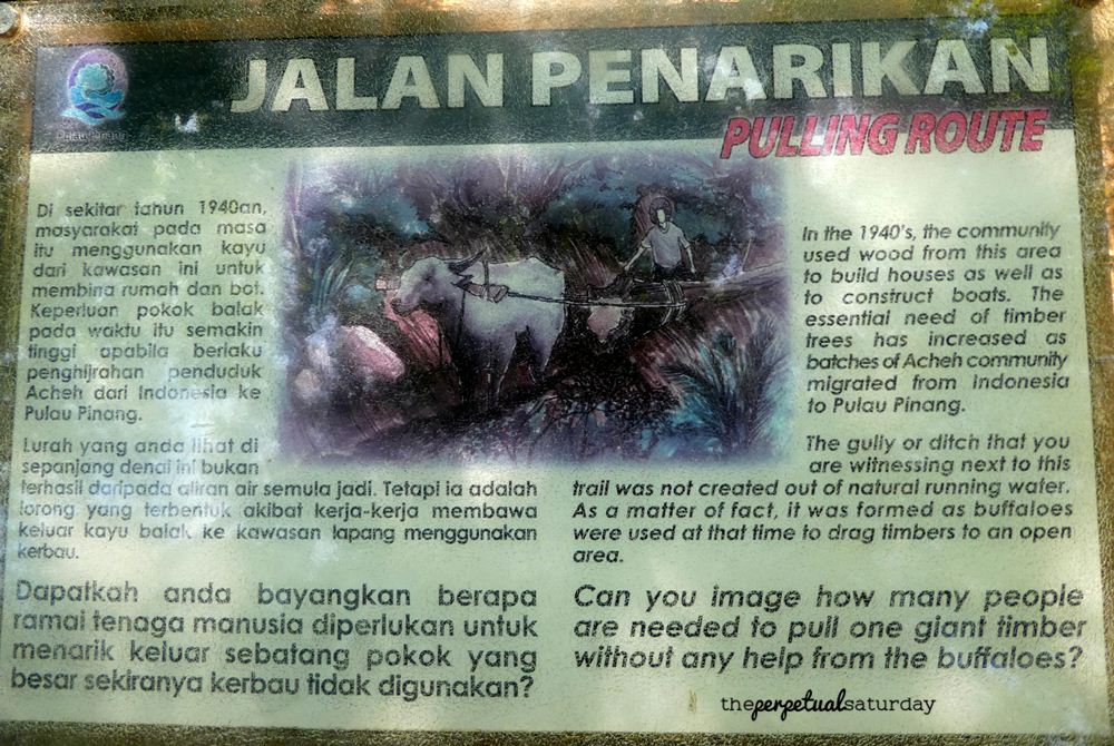
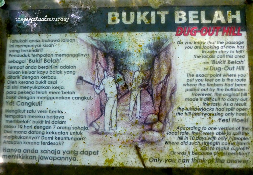
To break up the monotony, there will be several of these fact boards beside the path.

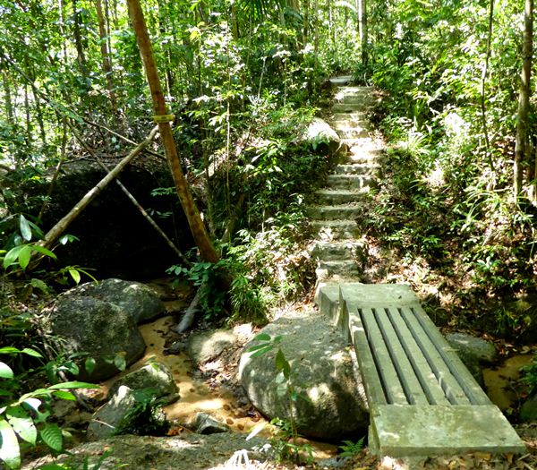
Eventually, you should be climbing a narrow set of stairs beside a small rivulet. At the top is a wooden gazebo that makes a good resting spot with a view of the waterfall.
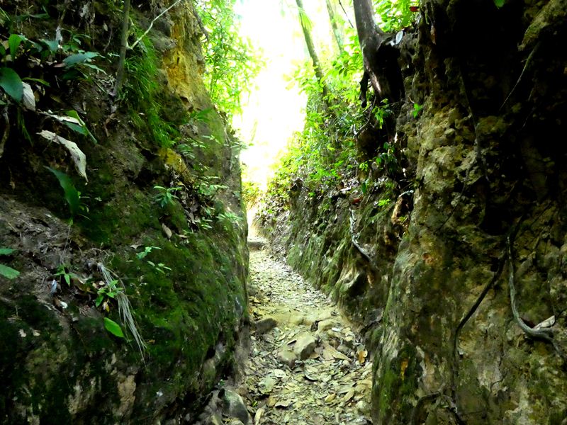
The trail flattens out for a while here, and you’ll begin to get these cool trench paths. This is the crest of the hill you’ve been climbing, and lumberjacks back in the day dug out the hill to make passage easier for them and the draft buffaloes.
When you get to this map, there will be another covered resting area. In fact, from here on, you’ll get regular resting stations along the way if you need them. Follow the sign to continue heading straight and down this smooth path.
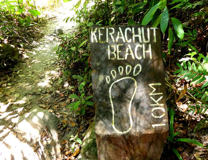
After all the downhill trekking you’ve just done, irritatingly, there will soon be concrete stairs heading back up. After some more uphill climbing, you should see this small sign on your right indicating that Turtle Beach is 1.0km away (not 10km, which freaked me out for a second).
The sign says 1 kilometre. 1 kilometre my ass! It takes the average person about ten minutes to walk that distance. After fifteen minutes of downhill walking, we only arrived at a sign telling us that Turtle Beach was five minutes away now! And to get there we had to climb even more stairs!
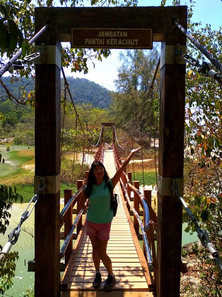
Twenty-five minutes after the “1km” sign, we finally made it. The entrance will be heralded by this bridge that overlooks the Meromiktik Lake. Enjoy the beach! If you’d like detailed information on what to expect at Turtle Beach, read my complete guide to Turtle Beach.
Bonus Tip For The Way Back
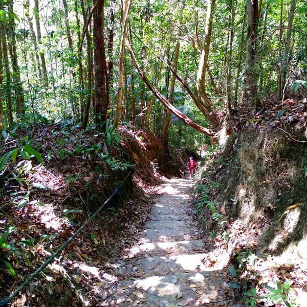
If you’re planning to hike back to the national park, you can completely avoid the massive set of stairs near the end of the trail. You descended them just before getting here, and maybe encountered others who were climbing up them and dying. There is an alternate route that has a much gentler slope and fewer stairs.
When you exit the bathrooms/showers at the beach, turn right and stay close to the treeline. Walk past the large covered hut until you come across a map board. Take the path into the jungle that is to the right of this board. You will pass a camping area, and eventually, cross over a stone bridge.
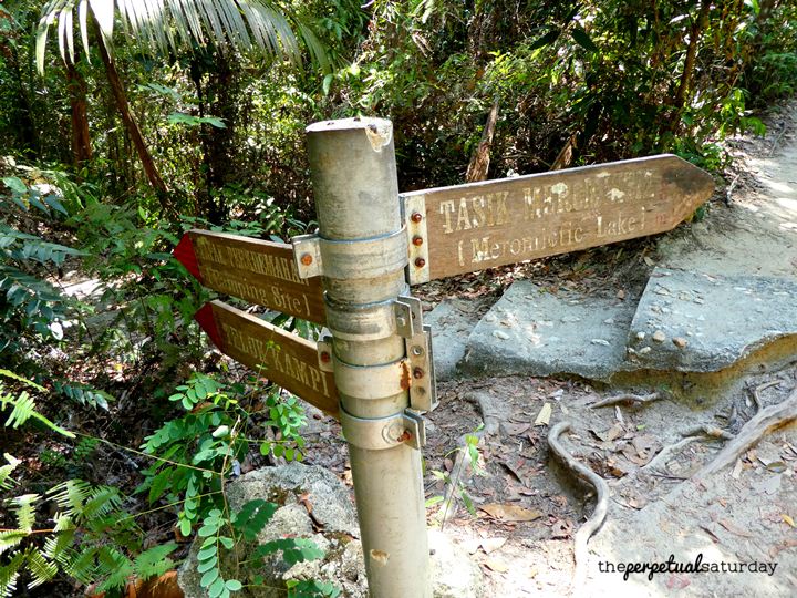
This path is noticeably treaded, so you’ll always be able to see where you’re supposed to be going. This route doesn’t have any strenuous stairs until the very end, where you will join up at this fork in the main trail. You passed this marker on the way here – you will be ascending the stairs from the “camping site” point on the sign – so now you can retrace the earlier route back to Penang National Park.


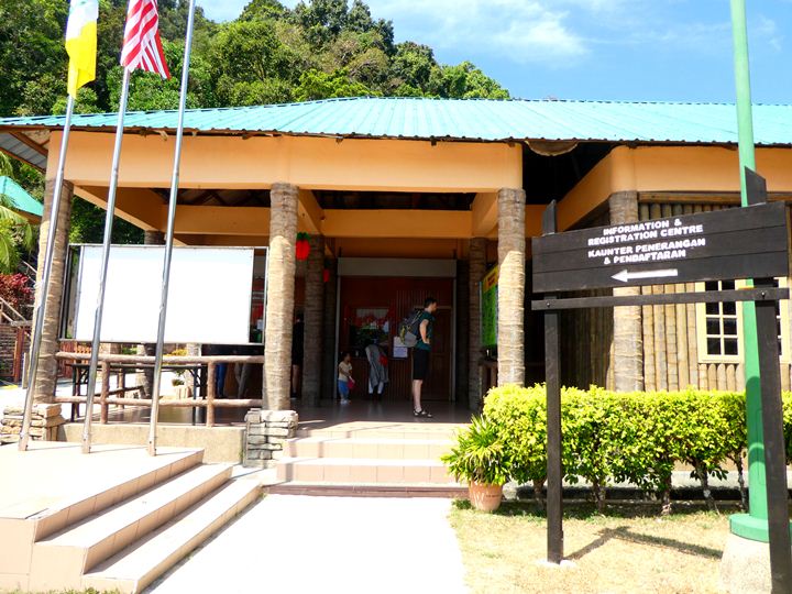


The park management have started to charge a conservation fee for entry into the park. RM 10 each for mykad holders and RM 50 for non mykad holders. I was there in May 2023.
Thanks for the update! RM50 for foreigners! Aiyo
need booking or just walk in?
You can just walk in. There is no online booking system on the Penang National Park website.
This is the hardest walk/climb I have done in a lots of years. I wish I had turned around early in the walk like the couple I met did. The path follows the beach a very nice walk The track to monkey beach was closed so you have to turn left. Very soon the track deteriorated badly. In a lot of case it was only slightly clear you were on the path. Climbing a hill balancing between large roots, then between small boulders. I went a long time without seeing anyone just forest
I did go to turtle beach which is a lot further then the sign said. Not much to see there and the camping area looked nice except a large tree had crashed through the roof of the shelter. 6 hrs and 11.7 KLM’s I finally made it out. Exhausted and run out if water. I think the staff need to do this walk so they can let you know what you are in for. They indicate easy walking except for one steep hill. That is rubbish maybe 40% is easy walking. Maintenance to the track is badly needed and staff should all have to walk it so they can tell us what it is really like. Signs showing way to entrance and and correct distances are badly needed.
An experience I never want to do again