The Loop Trail at Santubong National Park is a 3.5km hike that takes about 2 hours to complete. It is a circular route that begins and ends at Park HQ or the Ranger Post. This is slightly above a moderate difficulty hike. There’s a bit of elevation, and the trail is covered in leaves, snarled roots, and big rocks. You must also be comfortable crossing shallow rivers up to five metres wide on potentially slippery boulders.
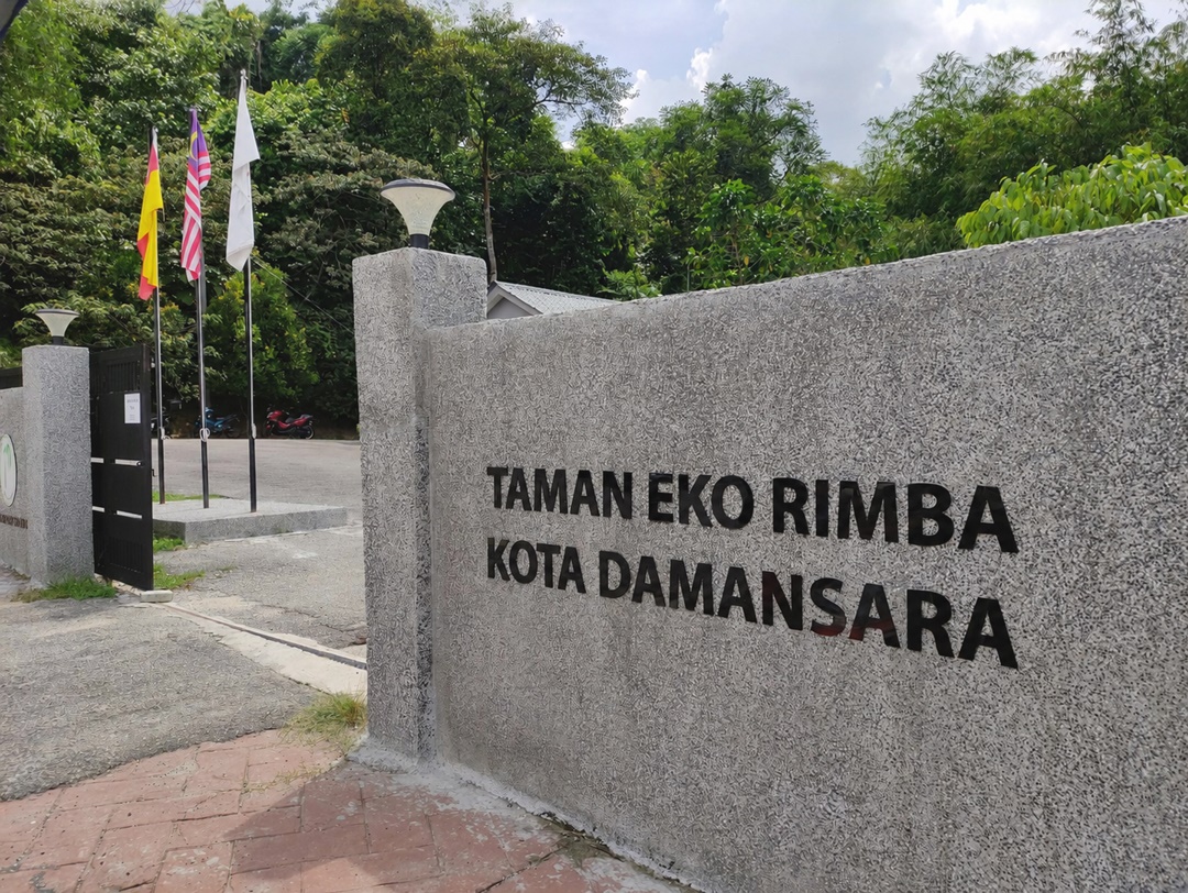
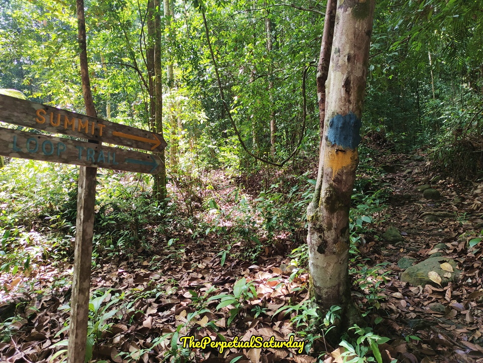
Santubong Loop Trail Starting Point
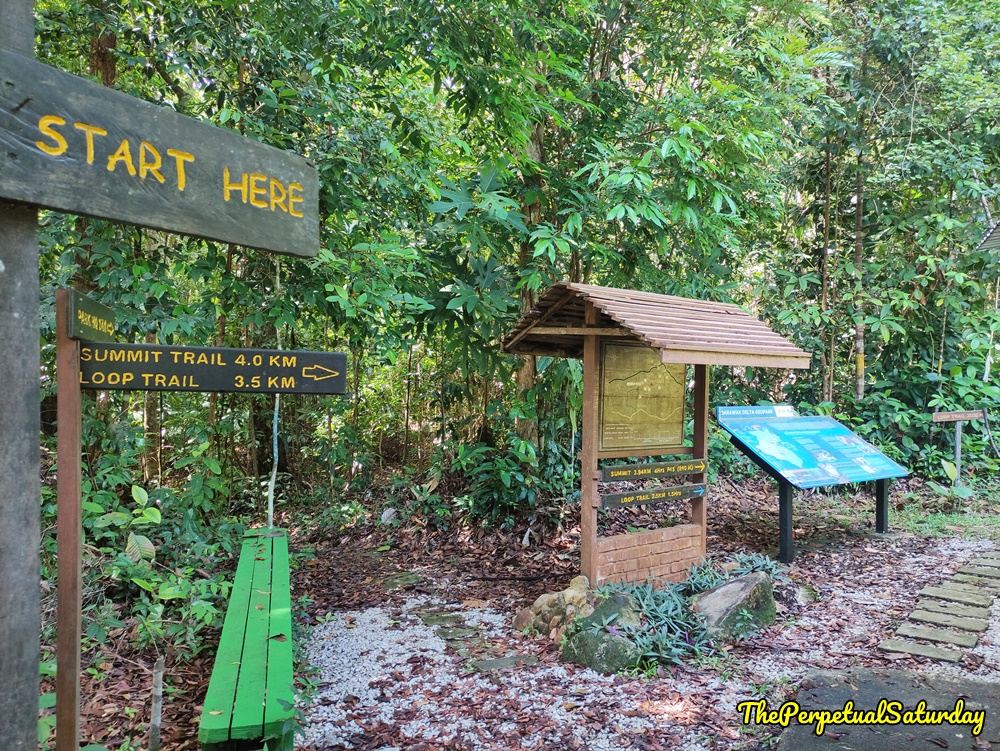
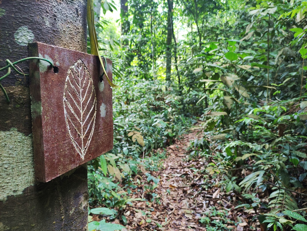
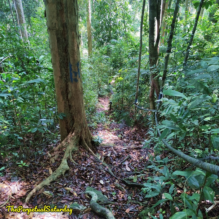
We registered at the Ranger Post since the Park Headquarters was closed. The first few trail markers will be blue-and-yellow bars painted on the trees, since the Santubong Loop Trail follows the Summit Trail from this entry point.
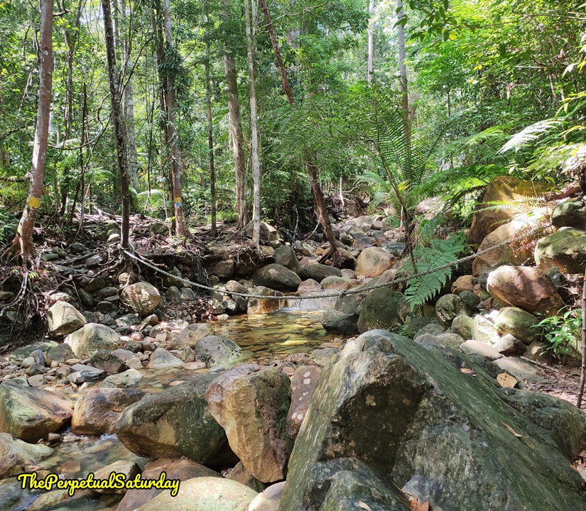
Within five minutes, we came to the first river crossing. Large boulders act as stepping stones across a shallow river, with a support rope for extra stability.
We got to another narrow river and walked along its edge. The two trails split here, with blue Loop Trail hikers heading left, while adventurous yellow Summit Trail trekkers must do a precarious river crossing.
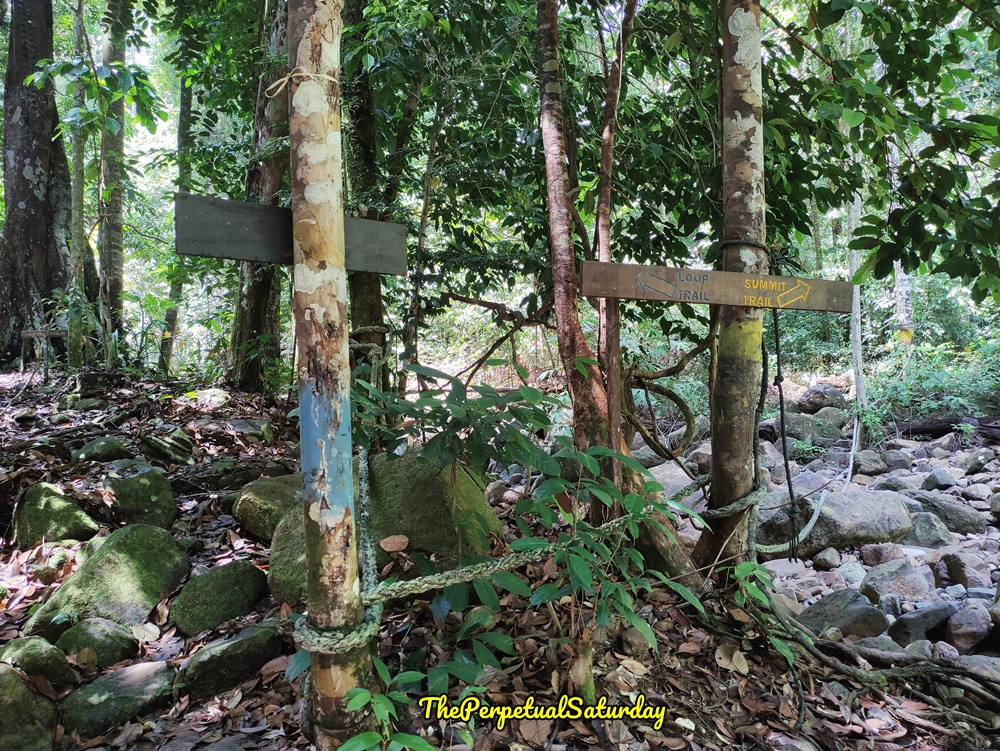
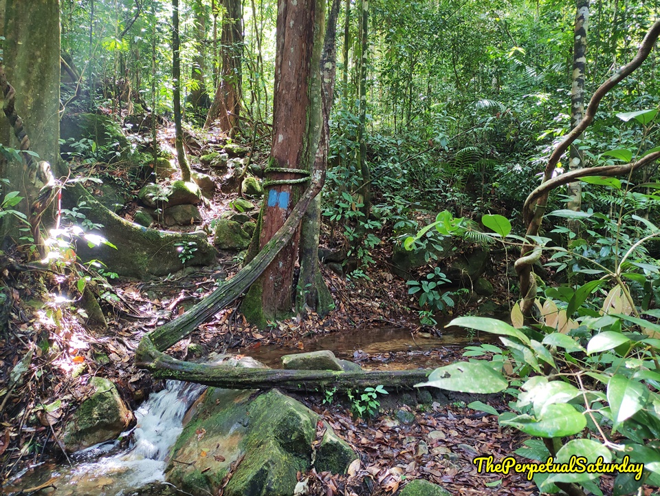
The Loop Trail crosses through the narrowest point in the river. I only needed one step on the strange curved log to get to the other side. The route markers from this point on will only be the blue bars on the trees.
Closed Bridge & Detour
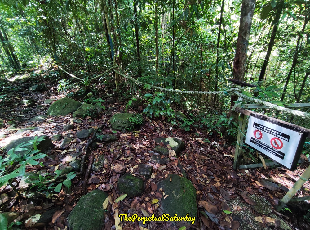
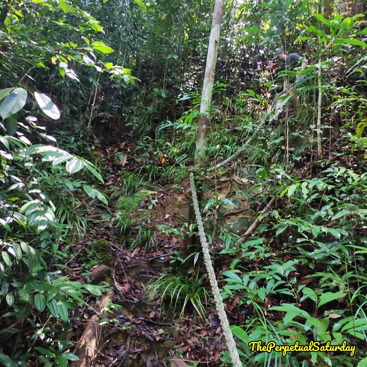
After a couple of minutes of upward hiking, we arrived at a closed bridge. I believe it used to be part of the trail, but the structure has deteriorated past the point of safety. The detour path follows the ropes left from the bridge.
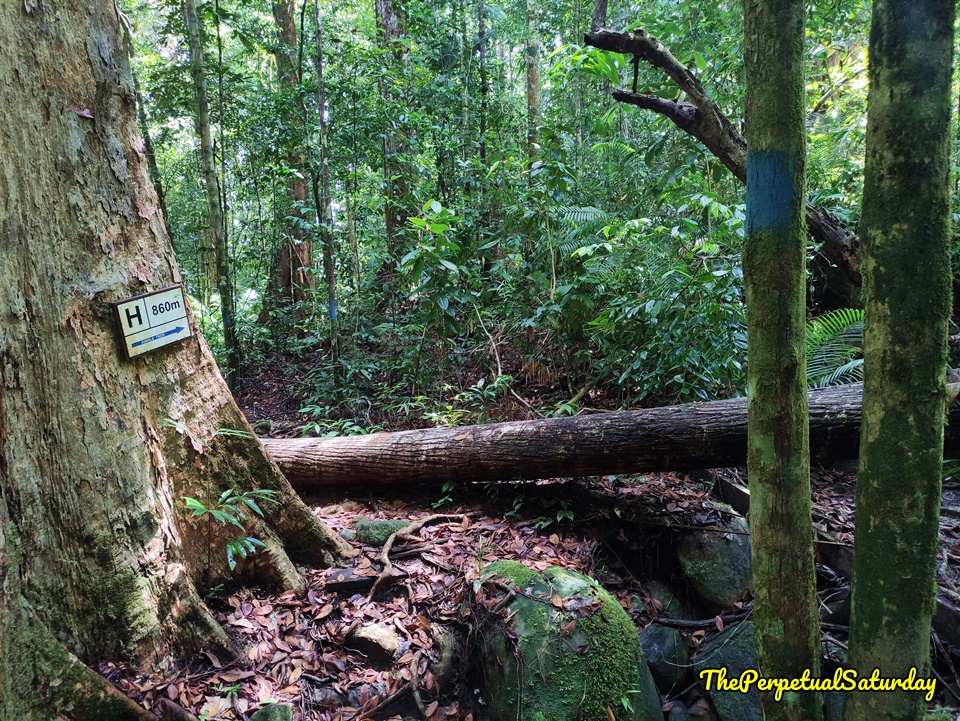
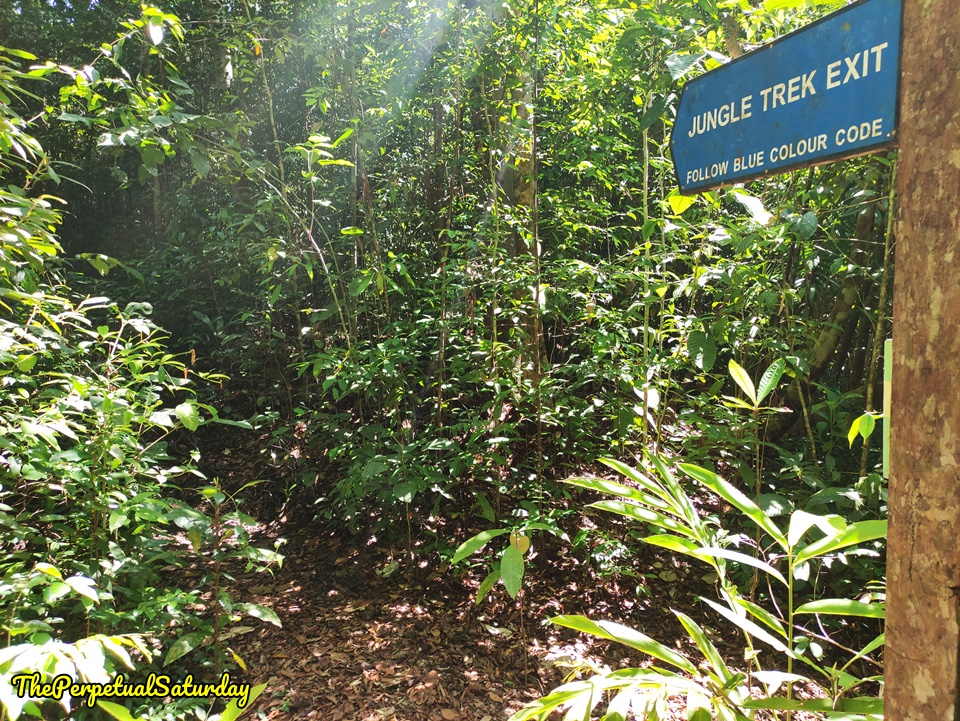
There’s a short wooden bridge, then a large tree with a sign indicating “860m to Jungle Trek”. I’m not exactly sure how much extra distance this detour adds, but it has to be close to a kilometre.
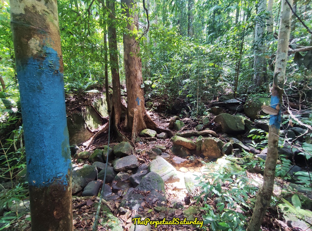
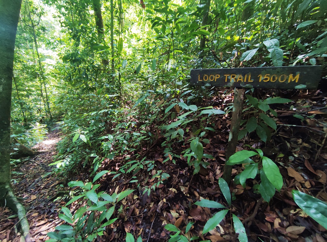
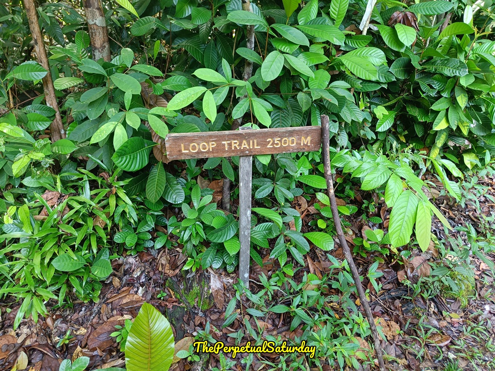
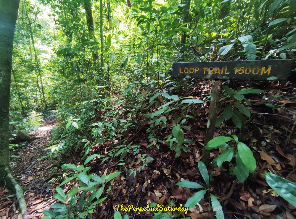
It took us twenty minutes through a rocky mess before we arrived back on the official trail marked with a 1500m sign. It appears that we were only two-fifths of the way through the hike, but the longest part of the trail was behind us. We got our only wildlife encounter at this point in the hike – some incredibly vocal monkeys. Unfortunately, they were too high and hidden in the canopy for me to tell which species.
Rest Area
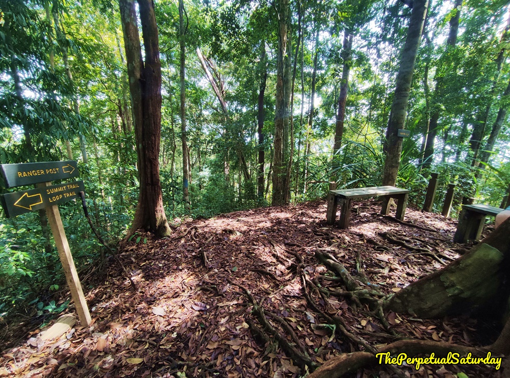
It was about fifteen minutes of rather flat, uneventful walking until we arrived at a rest area with a couple of benches. This crossroads hub is where you could get to the park headquarters entrance if it were open.
After a snack break, we followed the sign pointing to “Ranger Post.” The trail heads downwards, steep enough to warrant using the handholds. It was less than ten minutes before we arrived at the 1000m sign.
Steep Downhill (1000m to Finish)
The section after the 1000m sign was probably the most perilous part of the Loop Trail. We had to make our way down a very steep slope. The footholds were very small, covered with dead leaves and snaking roots. It’s very easy to get part of your shoe caught by a root or slip on some jungle debris. Using the support rope here was crucial. Once we were at the bottom, we were in the clear. There was no more downhill hiking after this point.
River Crossing (500m to Finish)
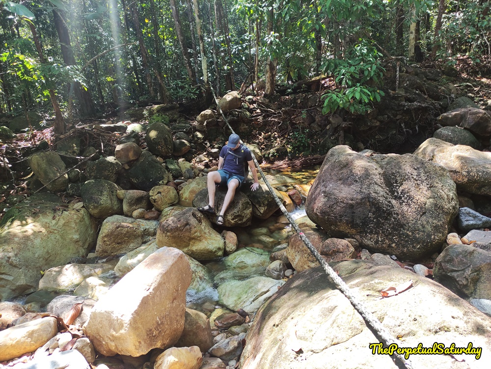
Shortly after the 500m marker, there is one last river crossing. This one felt the trickiest because the support rope crossed the exact spot where we likely would have soaked our feet. It’s hard to balance on the large boulders, but the smaller stepping rocks are slippery. We did a crab walk technique, sliding down the big boulders on our butts and using them as handholds while stepping onto drier rocks. It was less than two minutes back to the Ranger Post and the end of the trail once we crossed to the other bank.
Saturday Worthy?
If you’re a hobby hiker who doesn’t have the fitness or interest in a gruelling summit hike, the Santubong Loop Trail is a great alternative. The trail provided ample challenge, but it was never so intimidating that I was too afraid to venture on. It’s a more casual option that you can start as late as 12 pm, and it’s a decent length that still leaves the rest of the day for other activities.