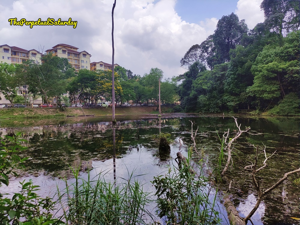
The Petaling Trail at Kota Damansara Forest Reserve is an easy difficulty hike that skirts the edge of the small, southern lake. There is minimal elevation, and it took us about 25 minutes to walk it end to end.
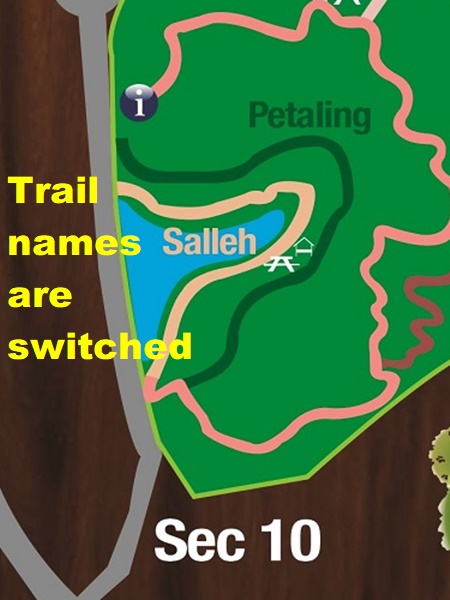
Navigating can get confusing, since park maps have switched the locations of the Petaling Trail and Salleh Trail. The maps at Kota Damansara Community Forest label the path closer to the lake as the “Salleh Trail.” However, signage at the trails states the opposite. I’m not sure which is the most recent, updated information, but I am operating as if the lakeside path is the Petaling Trail. You may notice Salleh sign markers on Petaling, and vice versa.
How to Get to Petaling Trail
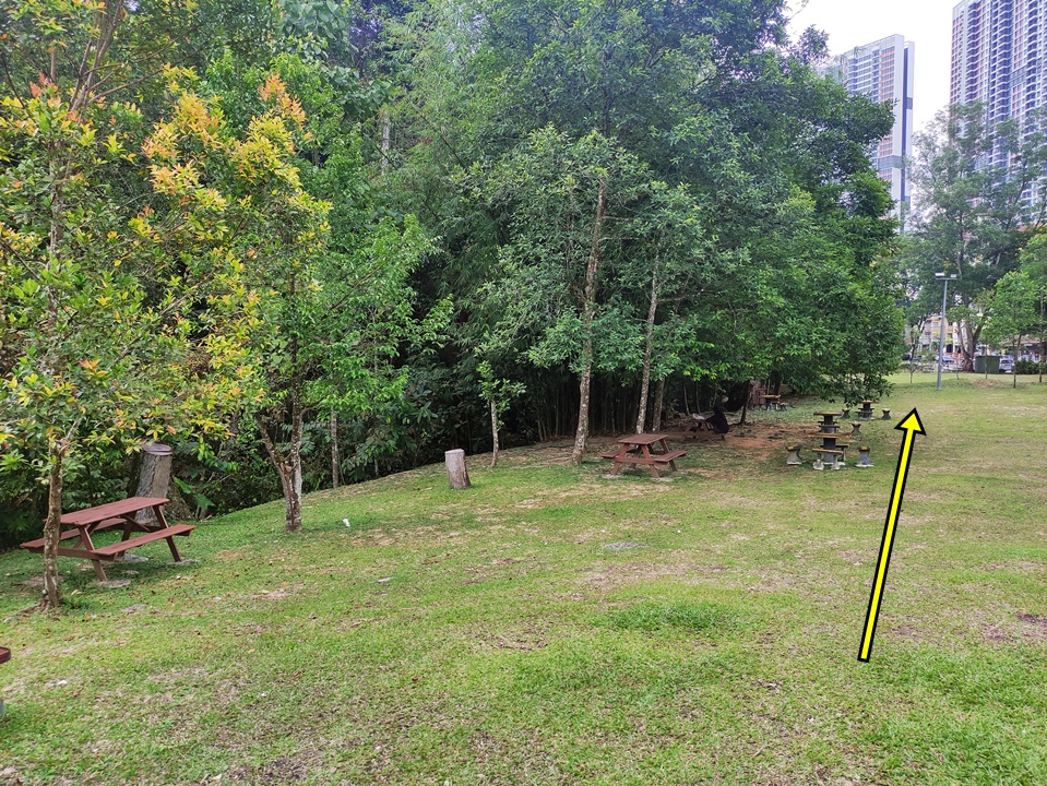
The start point of the hike is in the opposite direction from the Forestry Information Centre. Walk past the large covered shelter and the picnic tables at the edge of the forest. First, you’ll come across an information board and the start of the Salleh Trail. Walk a few metres further to get to the Petaling Trail entrance.
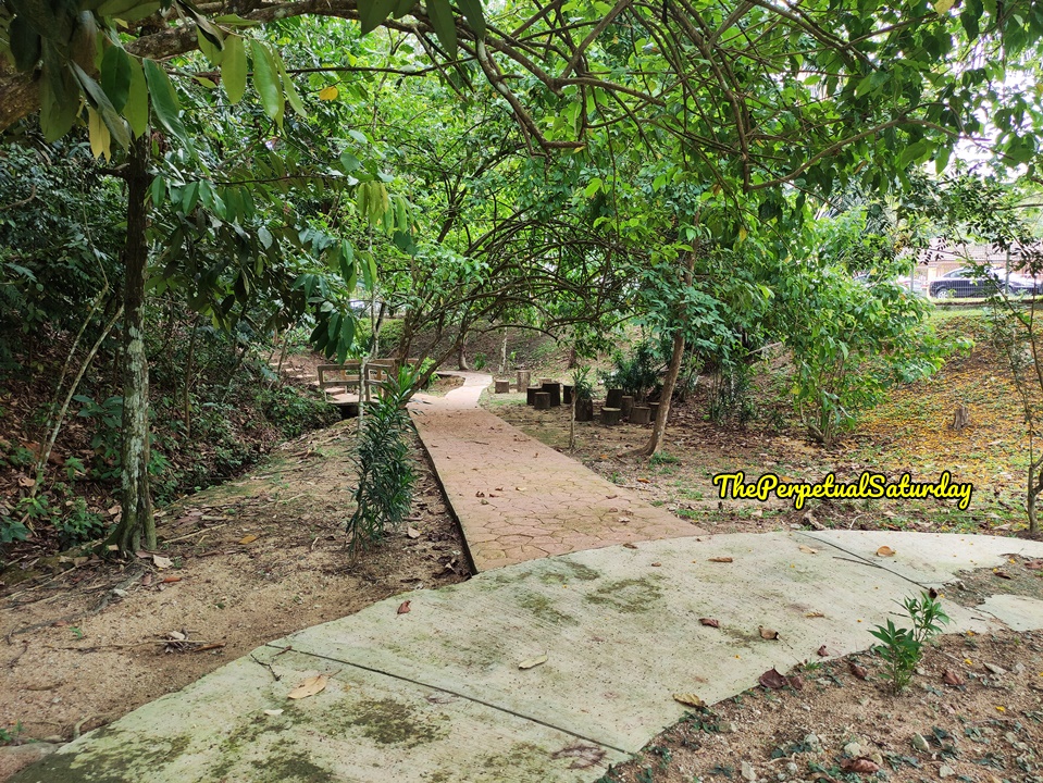
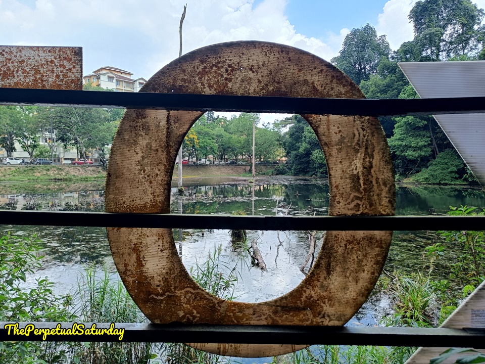
In the centre of the circular walkway, a sign points left for the Petaling Trail, but the saplings obscure it. The orange clay path and stump stools mark the start of the Petaling Trail.
Lake Viewing Platforms
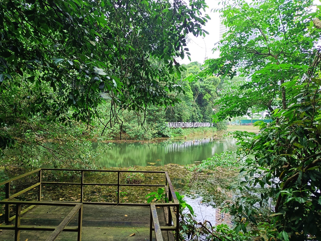
Within two minutes, you’ll come across the first viewing platform. From this dock, you can get a view of the lake and the signature “Taman Eko Rimba Kota Damansara” sign. The area was swarming with macaques, so we avoided it.
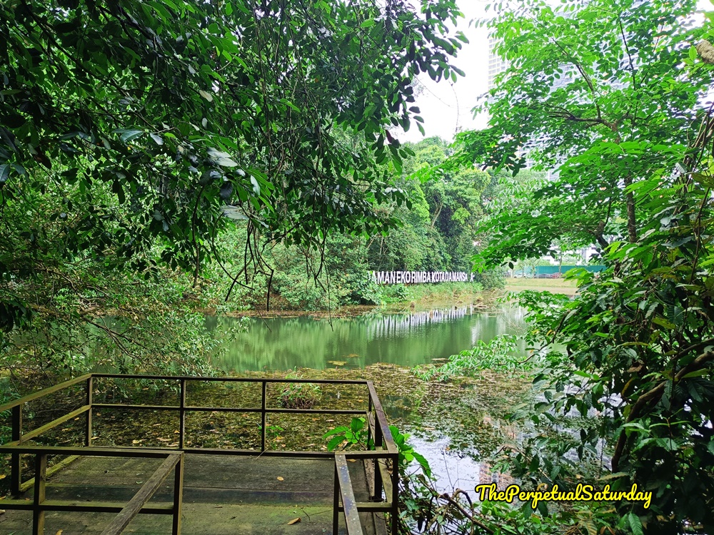
There is a second platform, a minute walk away, with similar scenery. There weren’t any monkeys since the canopy wasn’t as dense at the second dock.
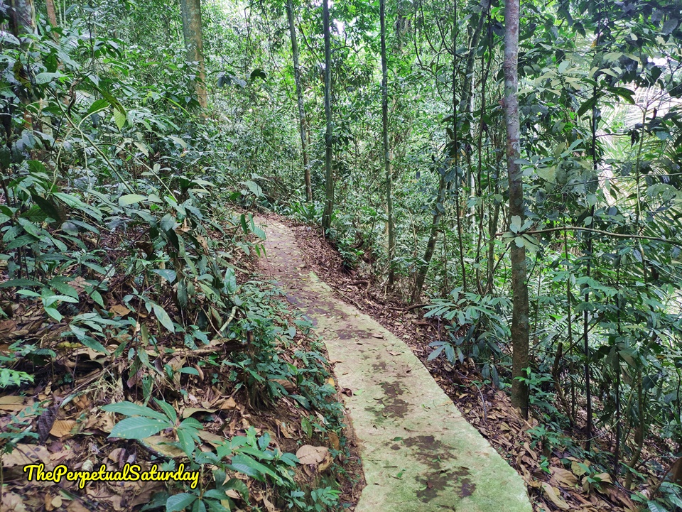
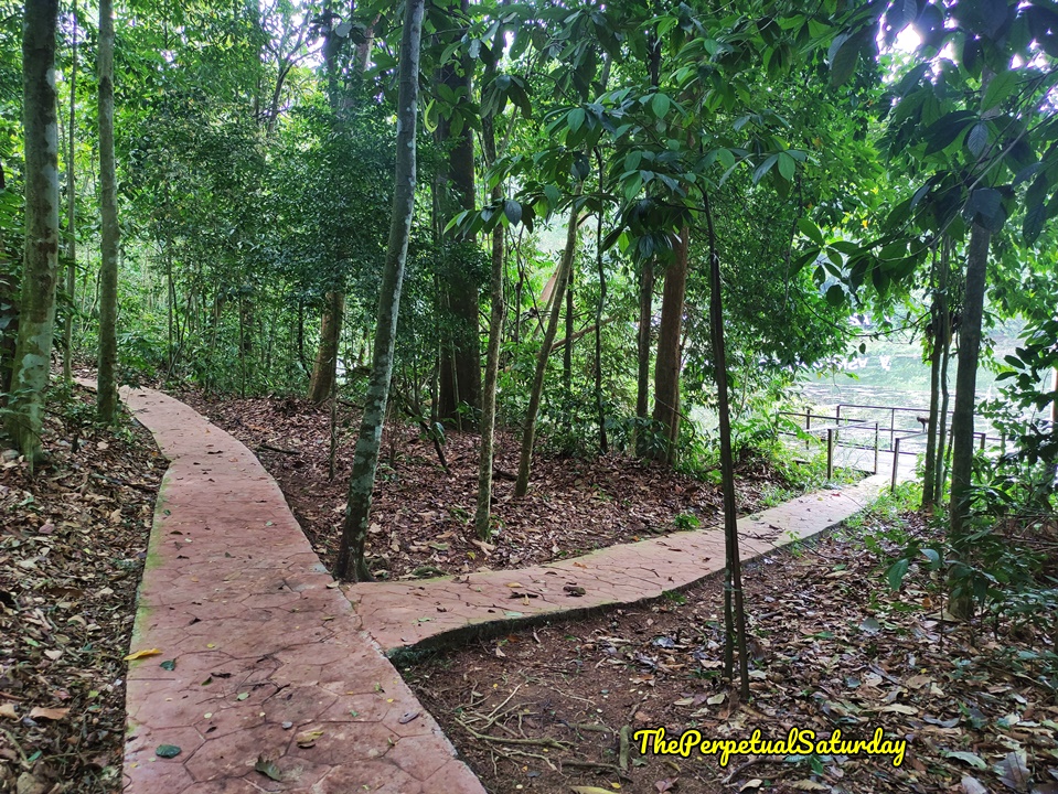
The trail runs adjacent to the Salleh Trail at the beginning. It’s so close at points that you could take one big step and be on the Salleh Trail. Petaling is a flat paved walkway for almost the entire way. There was only a slight elevation and descent, not more than a dozen steps. The man-made path gets slippery with moss, so take care. It’s most noticeable when the trail angles up or down, so be mindful of your footing to avoid slipping.
Rest Area
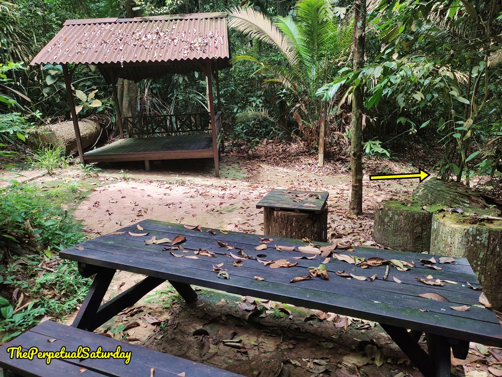
Petaling Trail has a rest area after the path bends around the tip of the lake. The clearing here includes a picnic table and gazebo. The trail continues to the right of the gazebo. There is a post with a blue KDCF marker pointing the way.
Within five minutes, you’ll reach the opposite end of the lake. You’ll be behind the Taman Eko Rimba sign. This point is almost the end of the hike.
End of Petaling Trail
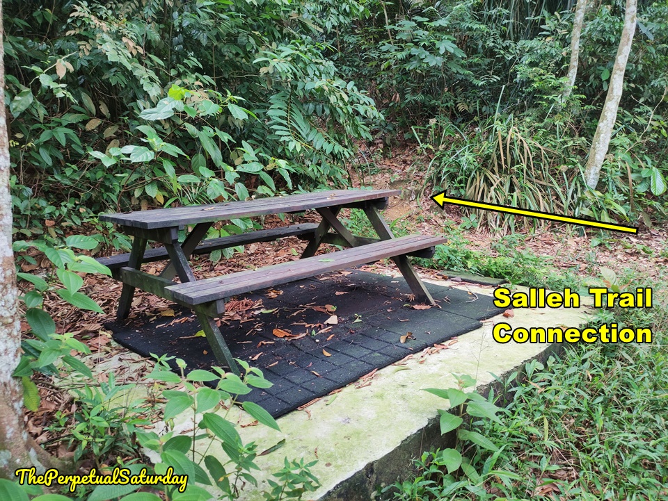
It’s only about a minute walk to the end of the Petaling Trail. There is a picnic bench to the left on a raised block of concrete. If you try to go any further, the path ends at a locked fence gate on Jalan Merbah 10/1. There’s nothing to stop you from hopping the fence if you want to leave the community forest. It’s short enough, maybe 1.2 metres high. If you want to continue hiking, there is a connection to the Salleh Trail and the Scout Trail. We took the Salleh Trail back to the Forestry Information Centre, so keep reading if that’s the route you’d like to follow as well.
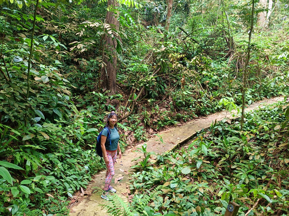
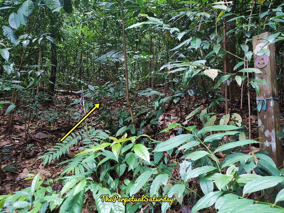
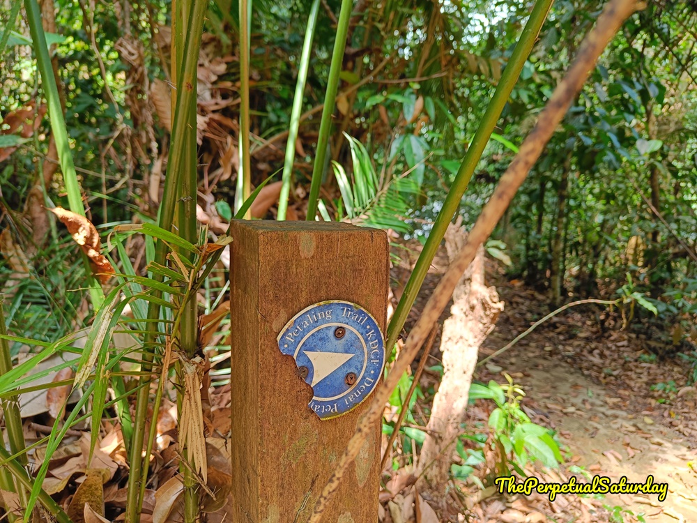
To the right of the picnic table, there is a dirt path into the jungle. Take this path, and look for a wooden post with a purple route marker and a green ribbon around it. The blue marker has fallen off, but the correct way is to the left of the post.
Soon, you should come across a second signpost. This time, the blue marker is on there. It reads Petaling because of the trail name switch, but this is the one we want.
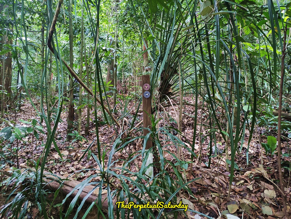
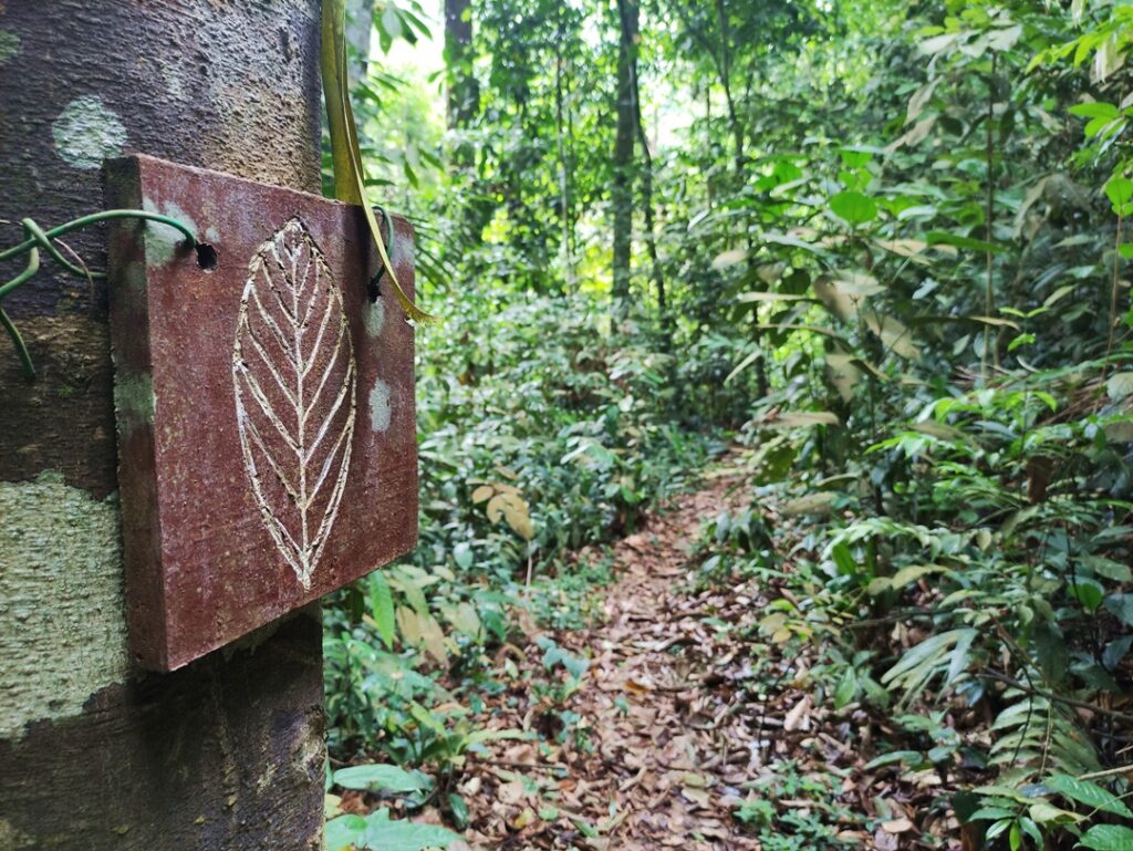
Follow the arrow left, and very quickly you’ll reach a large Petaling tree with an accompanying information board. This is now officially the Salleh Trail, and you can read more about this route in my dedicated post.
Saturday Worthy?
The Petaling Trail is preferable to the Salleh Trail for its lake views. However, it’s too short and easy to be your only activity when visiting the Kota Damansara Community Forest Reserve. I would use it as a warm-up or cool-down hike in addition to Unity Peak or the longer trails.
Kota Damansara Forest Reserve Petaling Trail Info
Duration: <30 min (one way)
Difficulty: Easy
Opening Hours: Weekends & Public Holidays 7:30 AM – 2 PM, Monday to Thursday 8 AM – 2 PM, Friday 8 AM – 1 PM
Parking: Yes (free street parking)
Washrooms On-Site: Yes, at Forestry Information Centre