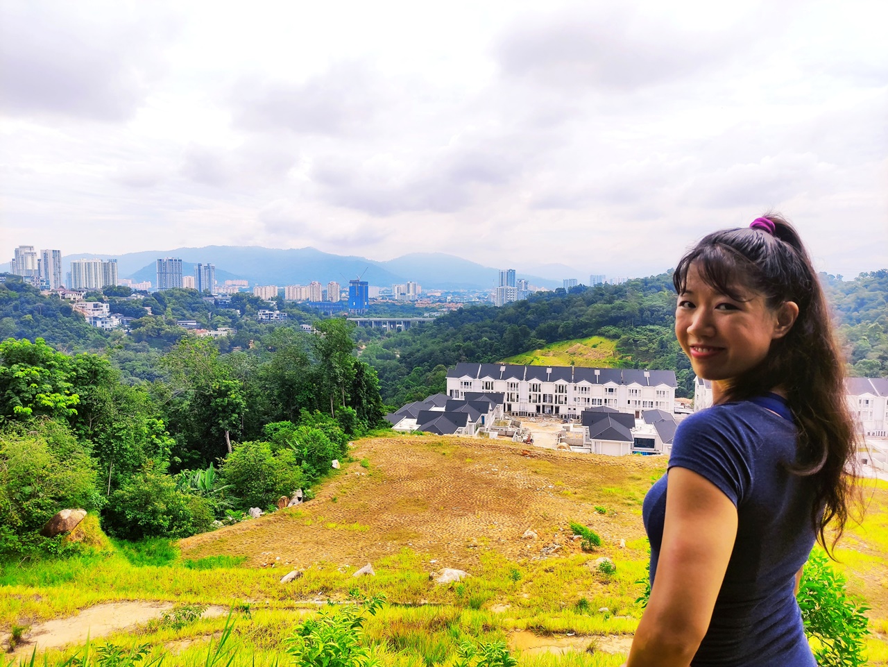
For those looking for a brief stroll that feels like nature but is still a comfortable distance from civilisation, the Bukit Kiara trail to the Lookout Point is a simple hike with a worthwhile payoff. At the lookout, you are surrounded by waves of forested hills while still getting a peek at the northern part of the city. Although the trail to get here is pretty flat all the way through, this spot is a high vantage point with a great view.
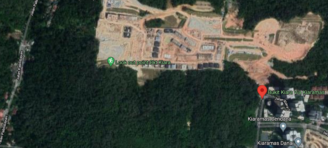
The Bukit Kiara lookout point is located outside of the official Bukit Kiara boundary, north of the SPRINT highway. This means that the pesky fence along the boundary line that supposedly gets locked at random times is not an issue when doing this hike. The way to this overlook is in the opposite direction from other Bukit Kiara points of interest, such as the peak, bamboo canopy and waterfall. You will undeniably be making a detour and going out of your way if you want to include a stop here in a hike to the other locales. If you only do the lookout point, it will take you less than an hour roundtrip.
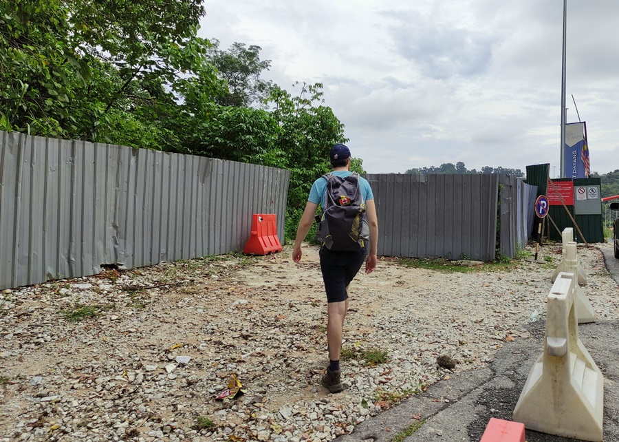
Start at the eastern edge of the Mont Kiara neighbourhood, opposite the Kiaramas Ayuria condominium on Jalan Kiara 7. There is a small gap in the corrugated steel fence on the left side of the road where hikers can enter.
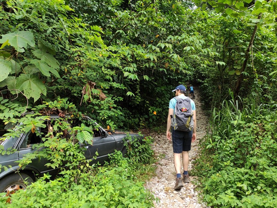
The first stretch is pretty rough with the path littered with large rock slabs, so be careful not to roll an ankle right off the bat. Within five minutes the rugged trail gives way to hard-packed dirt.
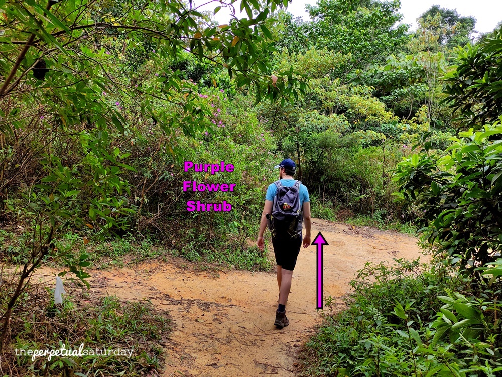
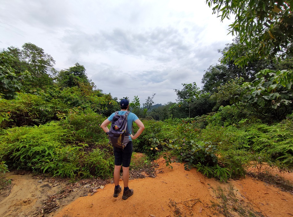
Next, you’ll come to a crossroads where there are two clear options. You’ll want to take the path straight ahead to get to the lookout point. Notice the shrub on the left with purple flowers on it, as this will be a useful marker for when you’re on your way out. On the right will be a small open space that looks into the distance, but there’s nothing to see at this altitude and with all the greenery in the way.
The path continues onward until you get to a crossroad with three options. Go right at this junction. This trail is less travelled but still obvious despite all the fallen leaves.
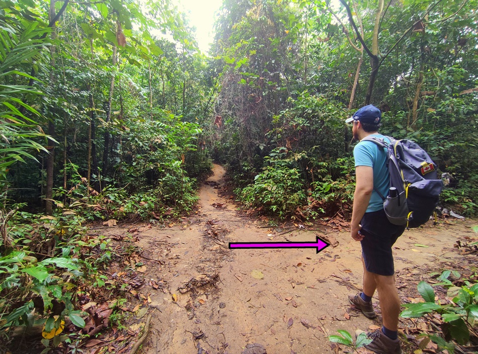
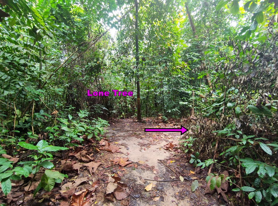
After about five minutes of walking, you should see the trail split in two in front of this lone, thin tree. Take the right path and you’ll pass by a few noteworthy trail markers.
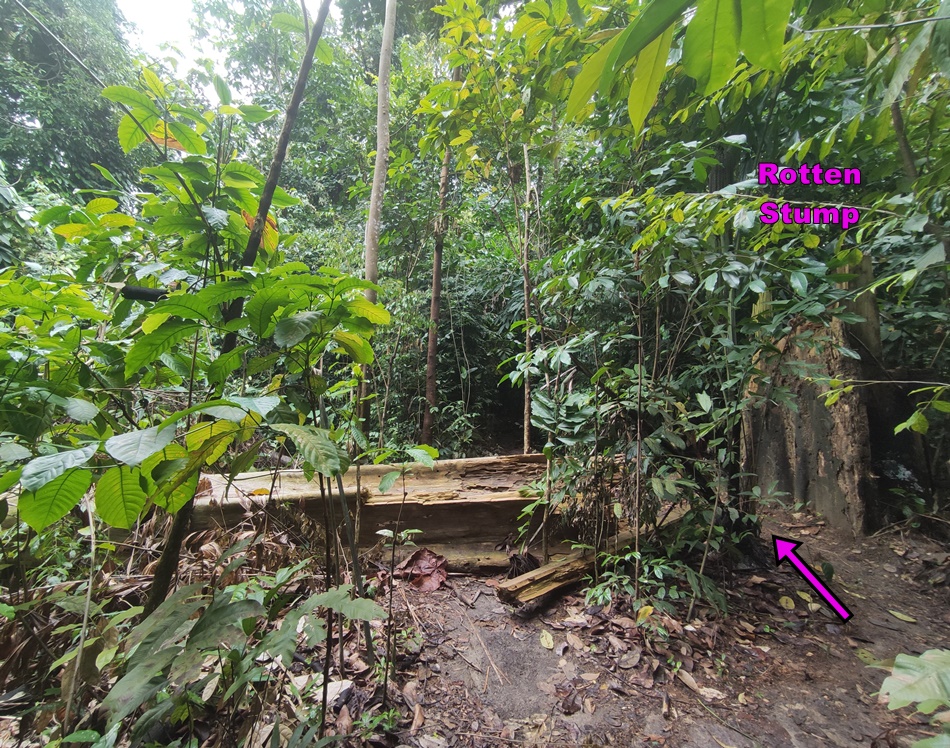
There should be a huge rotten tree stump where the rest of the trunk has fallen over. There is a convenient little space in between the two pieces where you can pass through. By the time you read this, the trunk might have been hauled away, but the stump should still be there.
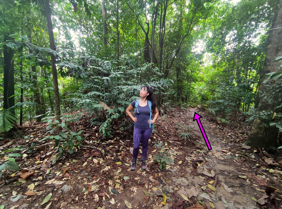
Not long after this, there will be a miniature clearing in the jungle. The correct path is on the right-hand side, so get back on this after a little water break here.
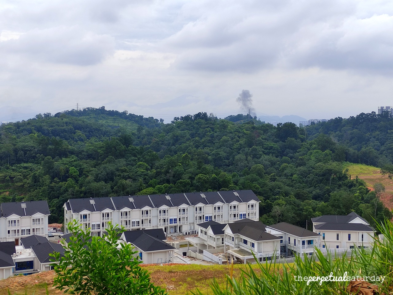
The trail gets a little tight for a minute. You might come across a tree trunk across the path that has been cleanly cut to not be an obstacle. Within a couple of minutes, you will see the trail end at a hilltop and a line of black roofs from the burgeoning suburb below.
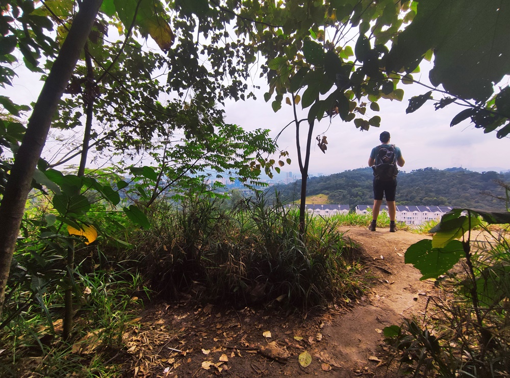
From this lookout point, the more substantial Bukit Lagong hills to the north dominate the skyline. The North-South Expressway, just visible in the valley, marks the last boundary line of development before a rolling sea of lush, dense jungle. That is until you get to the depressing scene directly below. The large swath of land that was clear cut is distinct and oddly pockmarked like the grooves on a golf ball. An entire chunk has been carved out of this jungle for characterless, cookie-cutter houses that sprawl further off to the right. To emphasize its lack of creativity, this future neighbourhood consists entirely of the same dull colour scheme – modern monochrome in a sea of green. Still, the pleasantness of this overlook cannot be dampened. Between the breeze up here and the sweeping view of everywhere except behind you, it’s easy to let time slip away while at this lookout. The shelf at this overlook isn’t very wide, so there’s not much room for social distancing if there are other hikers here.
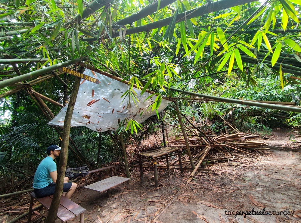
If you’re in the mood for something a little more substantial but not strenuous, this lookout hike can be combined with a trip to the bamboo stop just a little further south. Combining these two will result in a solid but not too tiring hike that takes about 2 hours. Read my accompanying post, Hike From Bukit Kiara Lookout Point to Bamboo Stop, that will have detailed instructions on how to get to the bamboo stop from this lookout point. We also took a different route to an alternate exit point on Jalan Kiara 7, so there will be minimal backtracking.
For those that have had enough, it is possible to take a slightly different path back to the Kiaramas entrance but it is easiest to backtrack the exact way you came – in both navigation and terrain. The trails, even in this northern part of the jungle, diverge often and you may find yourself off course and facing an unwanted steep slope. Walk past the rotten stump, and you should recognize the first trail fork: the lone tree with a path straight ahead and one to the left. Take the left this time.
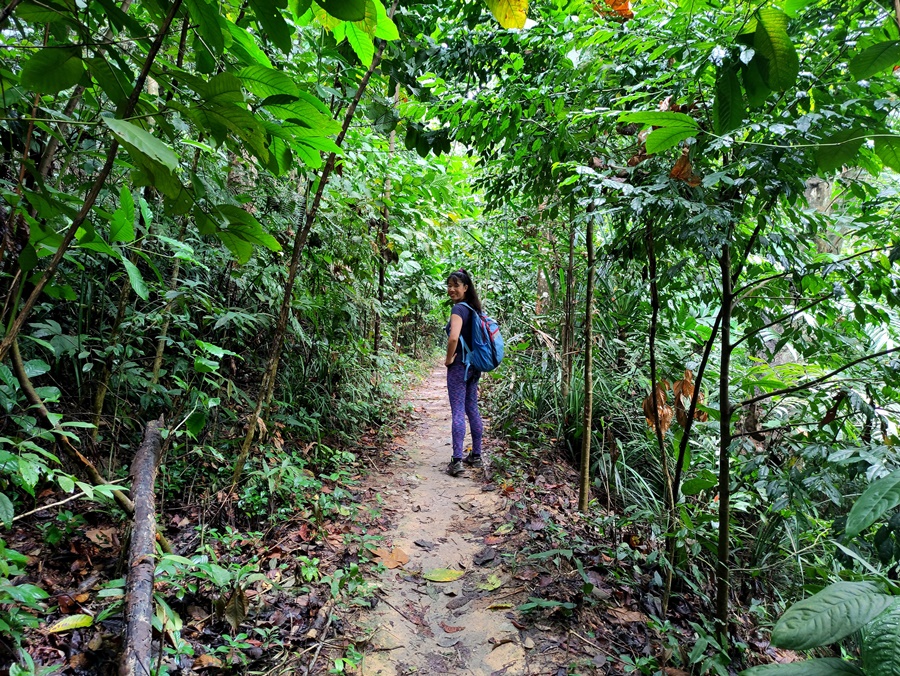
The next crossroad is the one with three options, and here you will take the left again. Very soon you should end up at the bush with purple flowers and that small clearing with a view of nothing. There will be a path dead ahead and one that goes to the right. Take the trail straight ahead to end up back on Jalan Kiara 7 outside of the Kiaramas Ayuria condo.
Trail Info
Address: Jalan Kiara 7, Mont Kiara, 50480 Kuala Lumpur
Opening Hours: Open 24 Hours
Duration: ~1 hour roundtrip
Parking: Yes, on Jalan Kiara 7 (free)
Washrooms On Site: No

