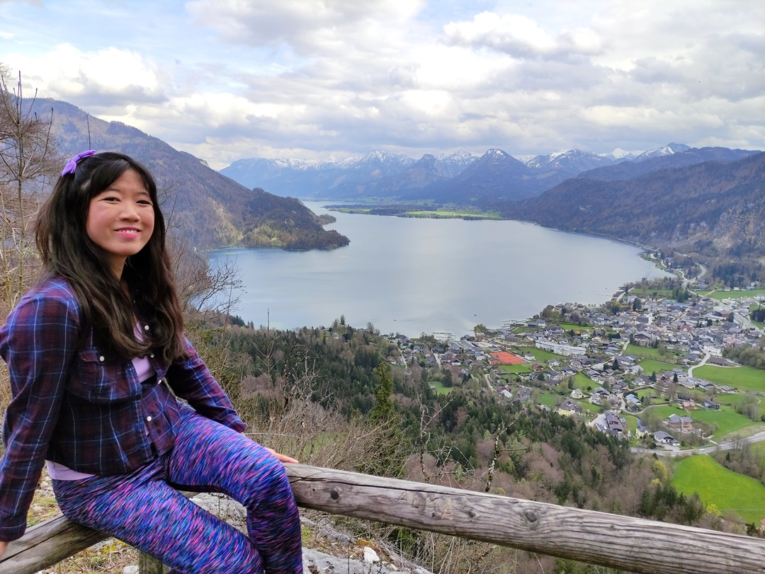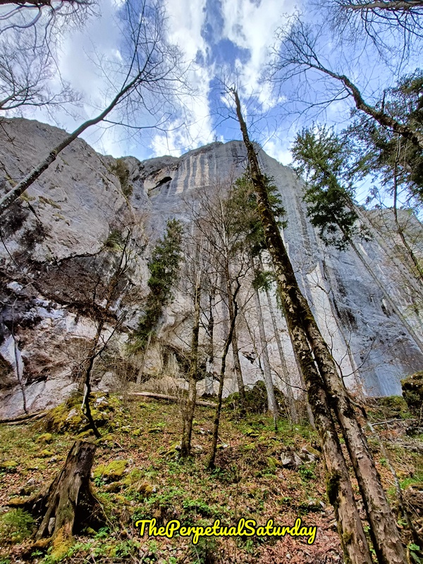
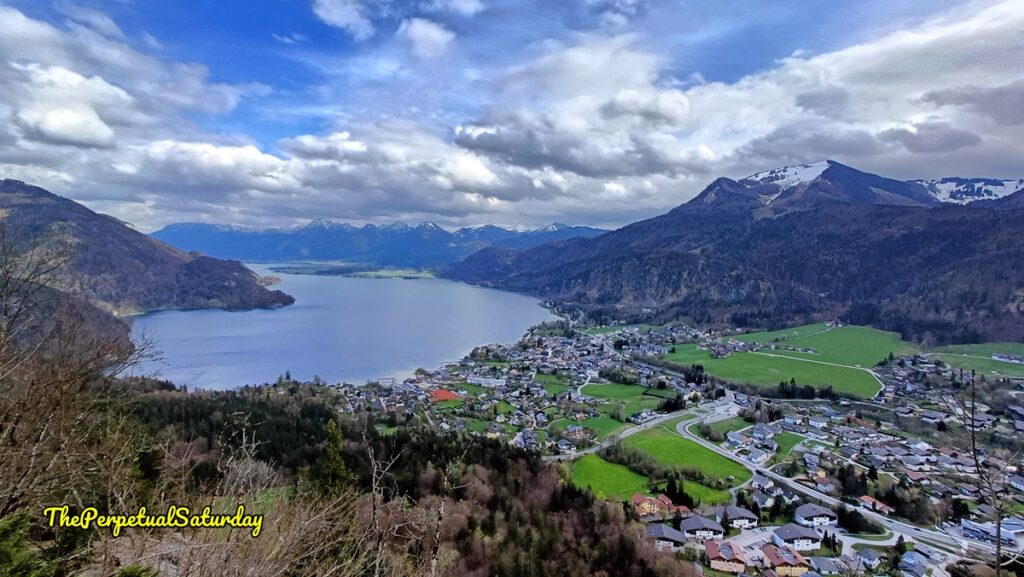
The Plombergstein is a prominent rock formation near the picture-perfect town of St. Gilgen, Austria. It’s not tall enough to be considered a mountain, but the limestone rises sharply in an imposing wall with an elevation of 960 metres (3,149 feet). If you can manage the moderately challenging trek to Plombergstein’s observation deck, you’ll be treated to an awesome, sweeping view of Lake Wolfgangsee and St. Gilgen.
Plombergstein Hiking Difficulty
Plombergstein is a moderate-to-difficult hike. The trail is very steep at times. It’s also rocky and full of roots. Proper hiking shoes are recommended.
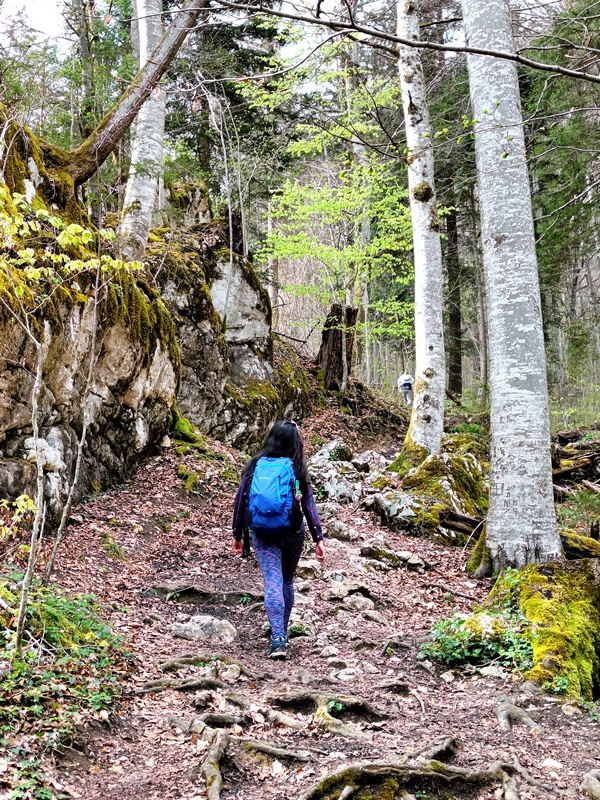
The loop trail is 2.7km long and will take at least two hours. Add more time if you’re walking to the trail entrance from the town. On top of that, budget some time to enjoy the view at the top.
Starting Point of Plombergstein Hike
We entered the hiking trail from the south side of the Plombergstein via the Obenauweg. If you’re coming from the west of the town’s roundabout, you’ll have to walk along the B154 highway (Mondsee Straße).
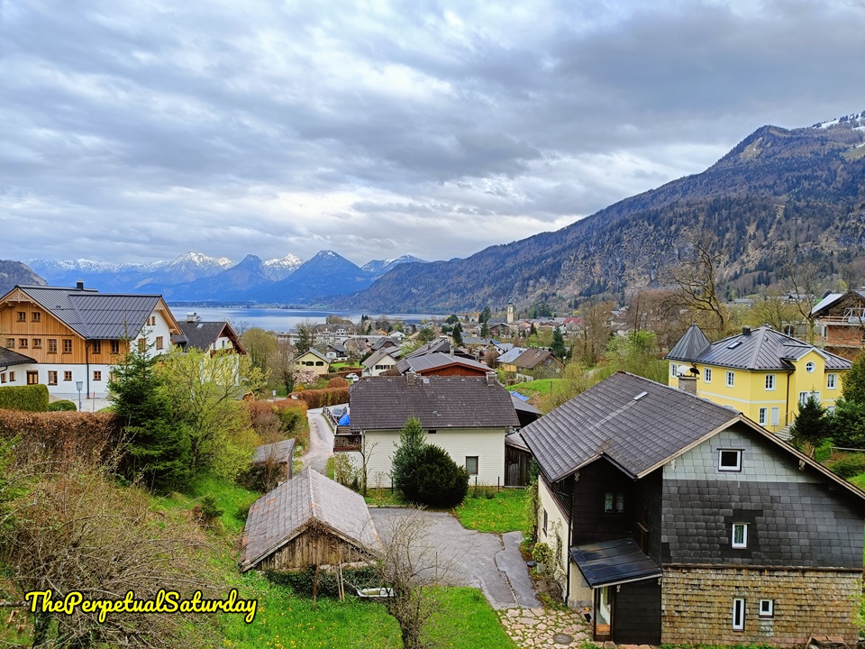
We were staying on the east side of St. Gilgen. We walked north on Steinklüftstraße, a suburban road with quaint homes. There are a couple of intersections, but there will be yellow signs (usually on the left side of the road) pointing towards the Plombergstein for foolproof wayfinding.
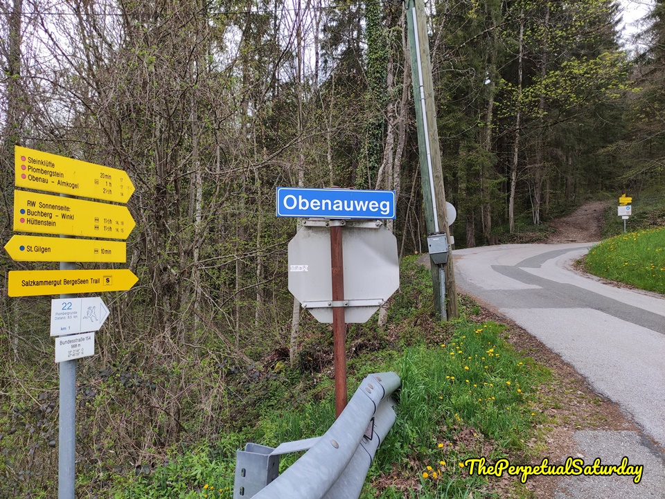
At the end of Steinklüftstraße, there is a road across the street. Google Maps named it Christinenweg, but it’s the Obenauweg, confirmed by a blue sign. More of the familiar pointed yellow signage marks the Plombergstein as 1 hour away. The road becomes a dirt path from here, and the hiking trail officially starts.
The Plombergstein Hike
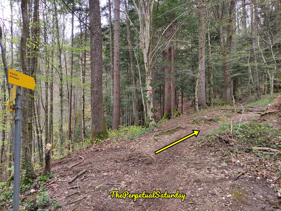
The Plombergstein hike begins as a walk through the forest at a gentle incline. Very quickly, there will be a fork with directions to Plombergstein pointing in both directions. The option on the right is the route we took and will end up closer to the caves (which I will talk about).
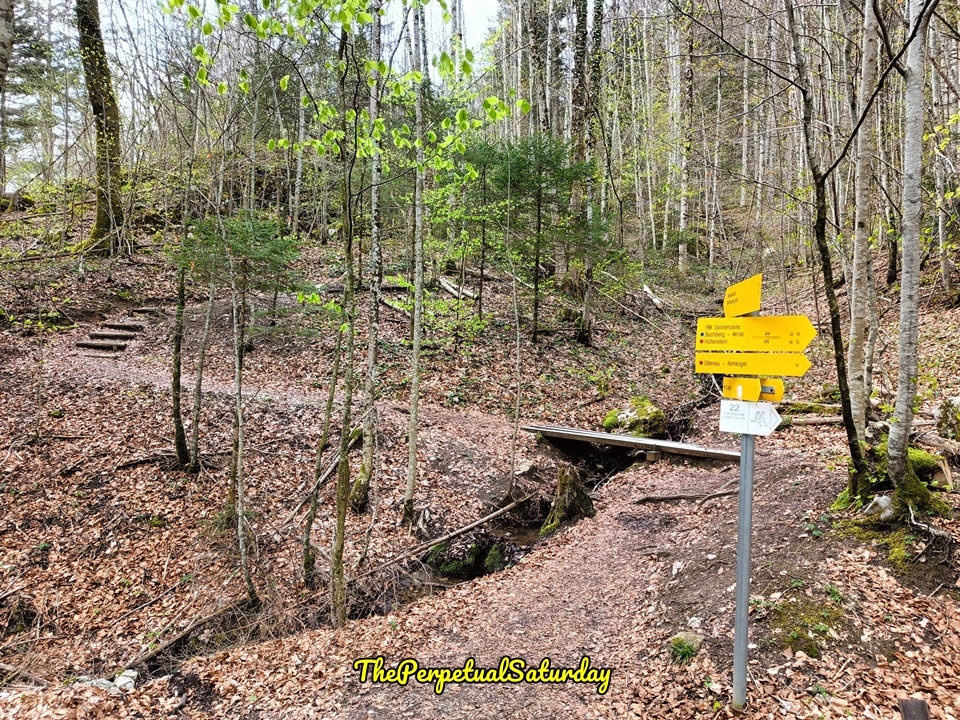
It took us about twenty minutes to get to the base of the Plombergstein. The sheer rock face blocks any further passage north and forces hikers to go around. As we marvelled at the sharp cliffs rising high into the sky, it was hard to imagine making it to the top from way down here.
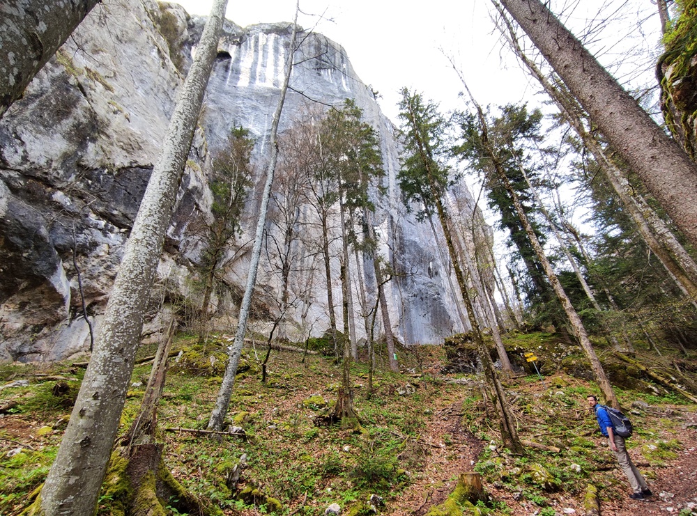
We headed right and took the path that skirts the eastern side of the rock. The trail branches off towards some nearby caves. On OpenStreetMap they’re named Franzosenhöhle (French Cave) and Kalte Kuchl (Cold Cake). These paths are roundabout routes that eventually rejoin the Plombergstein trail.
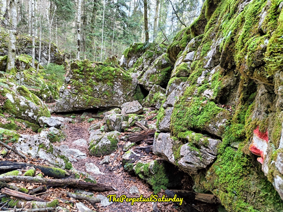
We intended to check out both caves, but all the dead leaves and moist air made the rocky path under our feet slippery and more difficult than we were comfortable with. We did the small loop to get to the French Cave. After a quick peek, we decided it wasn’t worth the added risk. The summit was the main goal, and we didn’t want to waste energy or daylight poking around some caves. We returned to the proper trail and turned left at the four-way intersection. After this point, the trail was pretty straightforward. There were no more branching paths until close to the summit.
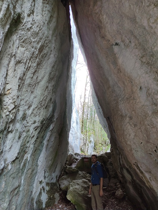
We saw two hikers attempting to mountain climb the Plombergstein. It’s possible, but it took them much longer to get to the summit. They had ropes, harnesses and all the proper gear. If you’re hardcore and into that sort of thing, you could look into it.
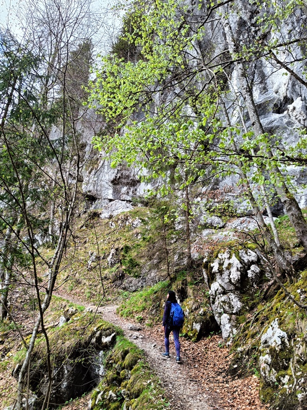
The intensity of the hiking trail builds gradually. First, it starts with a moderate uphill on a defined gravel path.
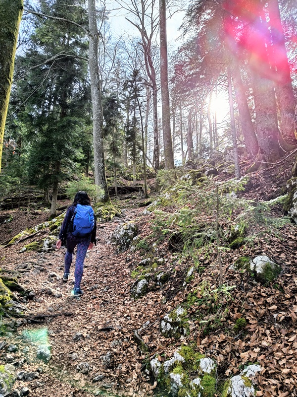
Very soon, it became a walk up a rather steep hill. The trail was now just a vaguely cleared strip formed by continuous footsteps.
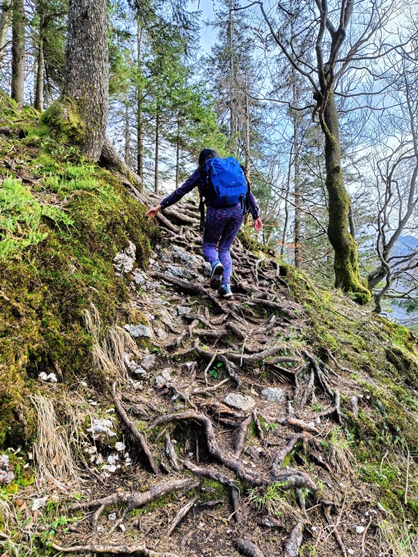
As we got close to the top, we were scrambling uphill over gnarled tree roots. There are a few more route markers up here, but it was obvious where we needed to go. It took us one hour to get to the summit.
The Plombergstein Summit
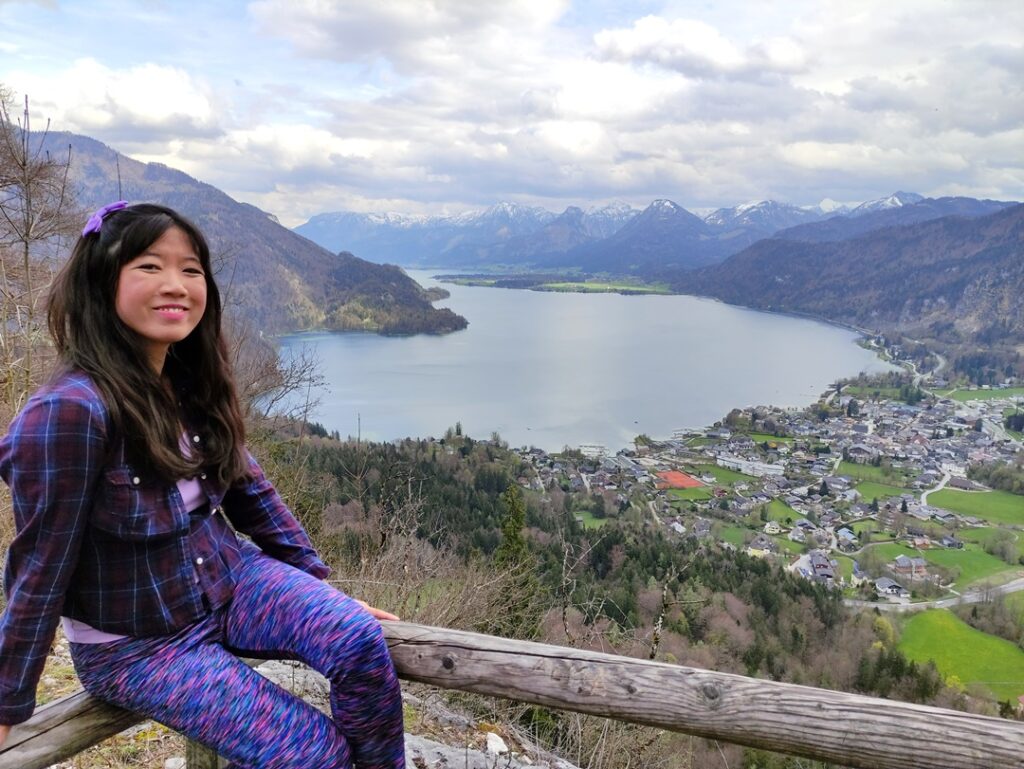
Plombergstein has an observation deck at the top. It’s not much – just a rugged waist-high wooden fence and a couple of benches for tired hikers. However, the simplicity only highlights the best part: the magnificent unblocked panoramic view of the Wolfgangsee and St. Gilgen.
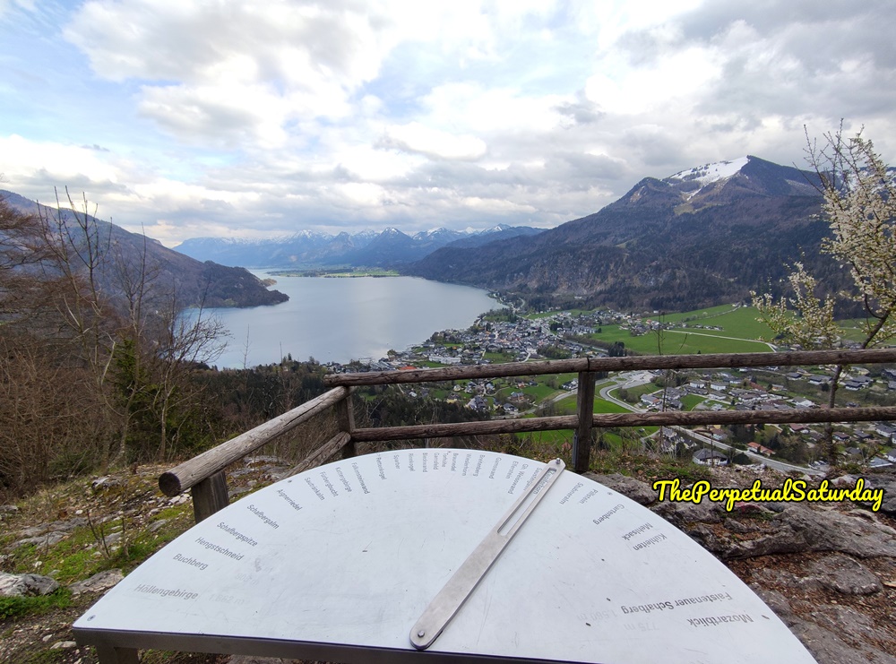
Today was cloudy but clear enough. We could see neighbouring towns across the lake with the mountain range in the background. Over on the left side of the platform, there’s a reference dial identifying over thirty of the distant mountains.
There’s a sizeable wooden cabin next to the observation deck. It was kitted out with solar panels and a satellite dish. I would guess that it is lodgings that tourists can rent out somehow. It’s called the Plomberghutte, but I couldn’t find any info about booking it.
We stayed at the summit for close to thirty minutes. Over the edge, we could see the mountain climbers we spotted earlier slowly making their way up. We had the place to ourselves for a while. Only one other couple joined us after about ten minutes, and they were St. Gilgen residents taking their evening constitutional. I imagine the Plombergstein trail is usually this quiet and peaceful during the off-season (we visited in late April).
Hiking Down from Plombergstein
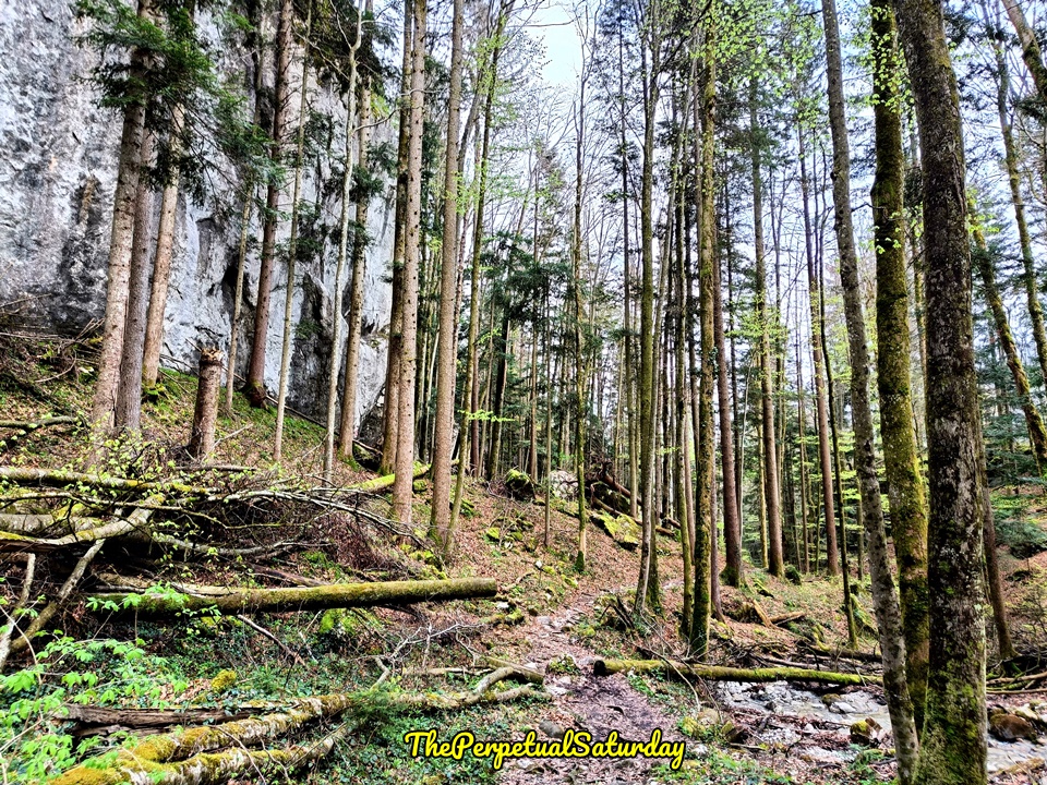
We could’ve taken the same path back down, but we descended on Plombergstein’s west side for new scenery. Both options will funnel down and join at the Obenauweg starting point.
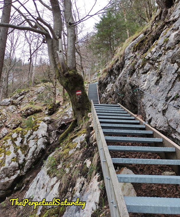
There were a lot more metal stairs on the west side. Once we cleared those, the ground seemed much flatter on this side. If it’s raining, it’s probably safer to take this route when going up or down.
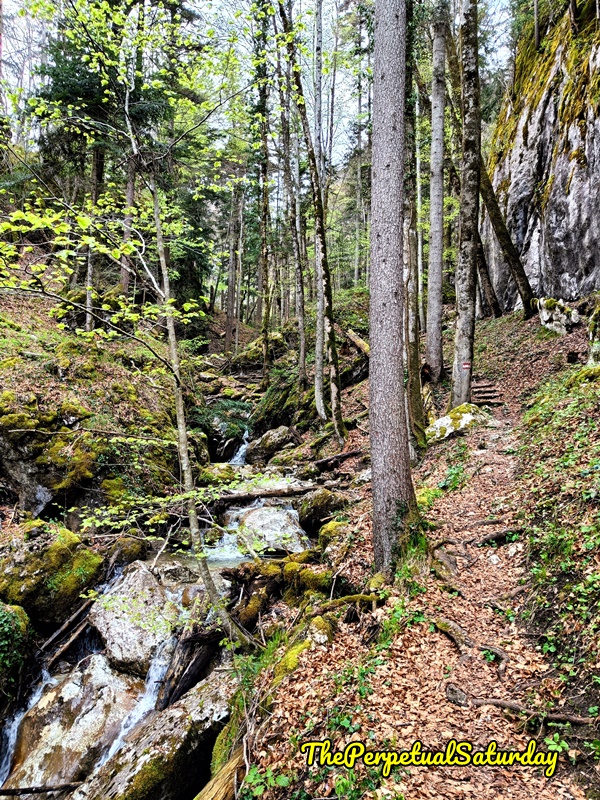
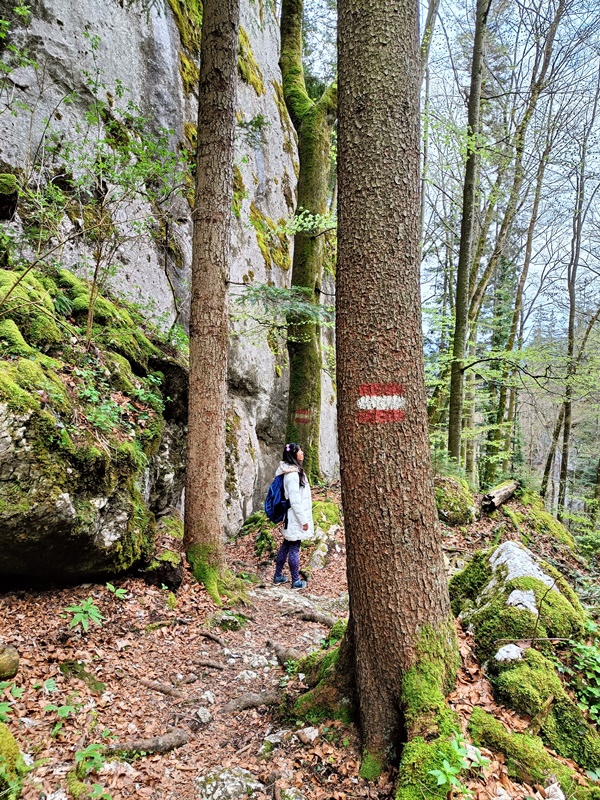
The trail then follows a narrow river. The red and white bars painted on the trees let us know we were going the right way in the absence of the yellow route markers. When we did see signs, we followed the direction that pointed to St. Gilgen this time. Soon, the trail became familiar, and we were back in civilisation at the Obenauweg. It took us another one hour to get down from the summit.
Saturday Worthy?
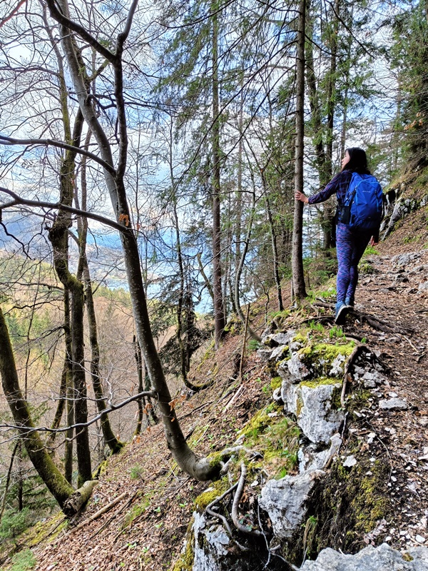
Plombergstein is a really cool hike that is challenging but not overly scary. Mark especially loved it, calling it the best hike he’s done thus far. It was the perfect balance of nature, difficulty and elevation for him. Use OpenStreetMap for navigation, as it shows the trail, caves and route markers, whereas Google has nothing. Plombergstein is a short hike that is a convenient distance from the town. It’s a great activity if you’re a decent hiker and only have a couple hours to spare.

